Addison Oaks Lake George Entrance

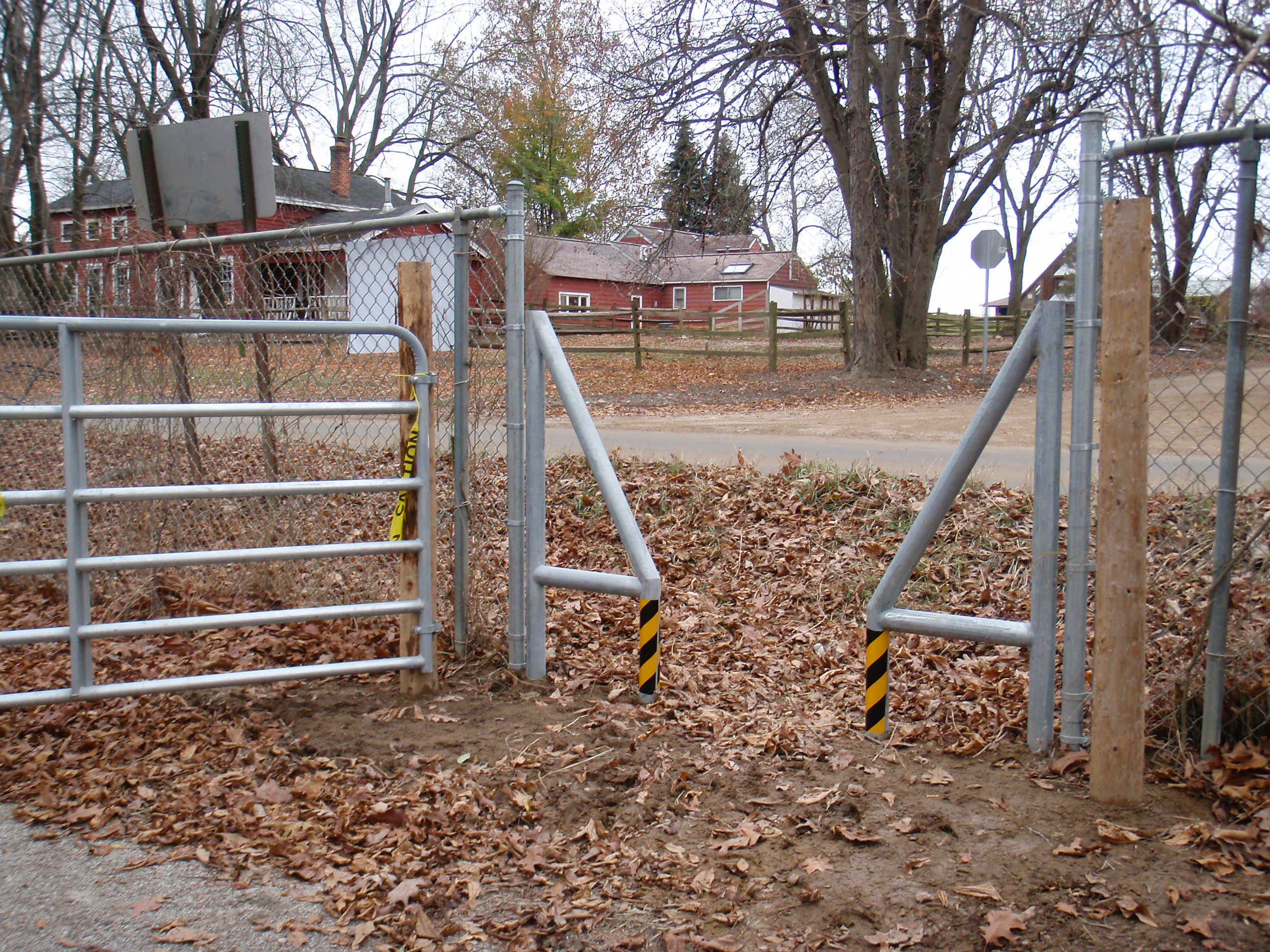
This afternoon while hiking at Addison Oaks to collect some map data I saw that the new non-motorized park entrance from Lake George road is complete. This is a gap in the fence with both a triangular gate to allow equestrians but help keep motorized vehicles out, and a swinging gate allowing it to be locked shut. The swinging gate is latched shut with a chain that slips through a latch.
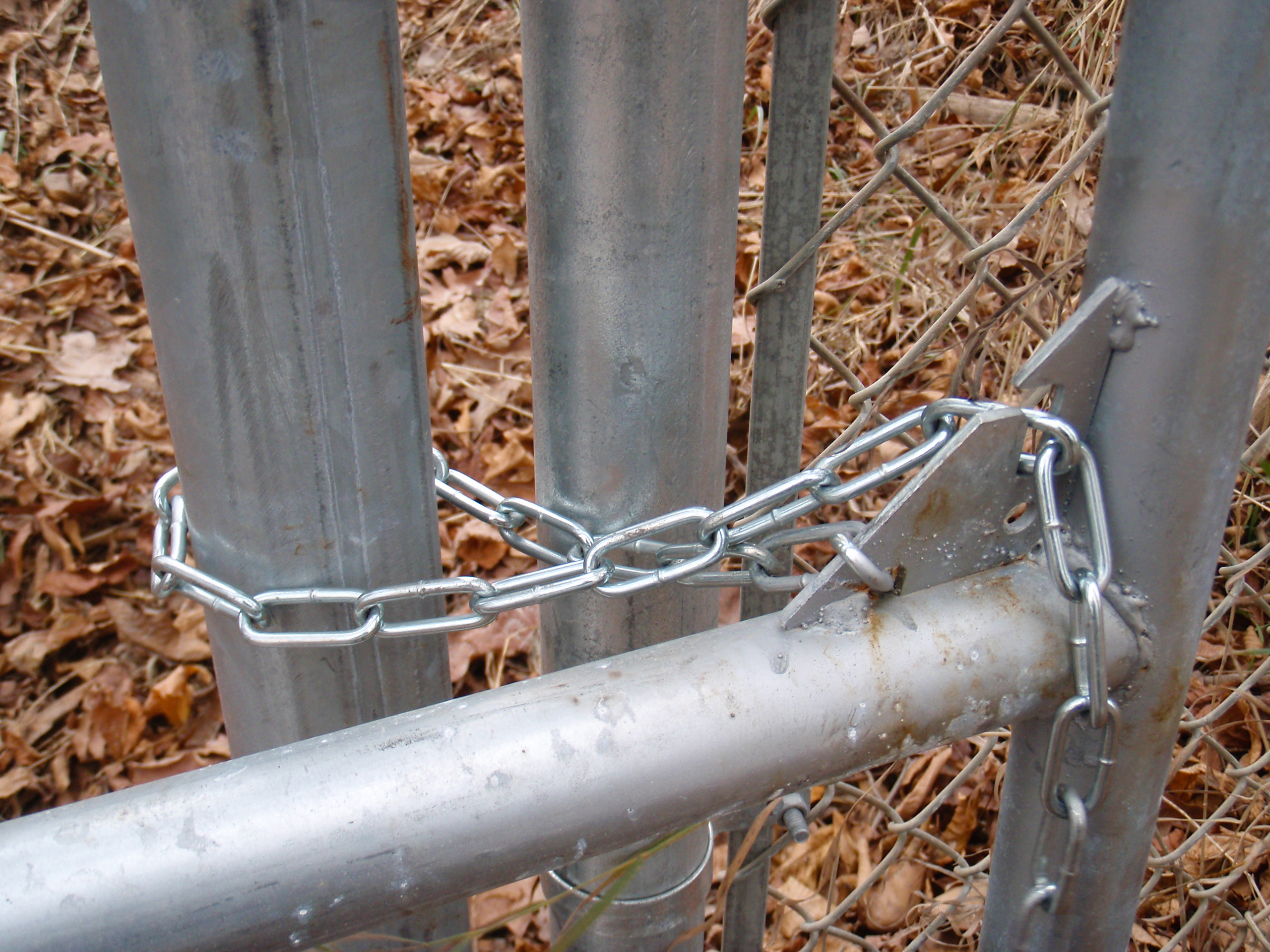
The latching mechanism is a bit awkward because of how the installers positioned the wooden posts in relation to the chain link fence. When I first got to the gate the chain was looped around the wood post, as seen above. This can be done by someone standing inside the park, but once outside it’s very difficult to get the chain wrapped around the wood post. Looping the chain around a metal post, as seen here works better from the outside of the park, but clearly isn’t the intended design. Regardless, it still holds the gate securely shut.
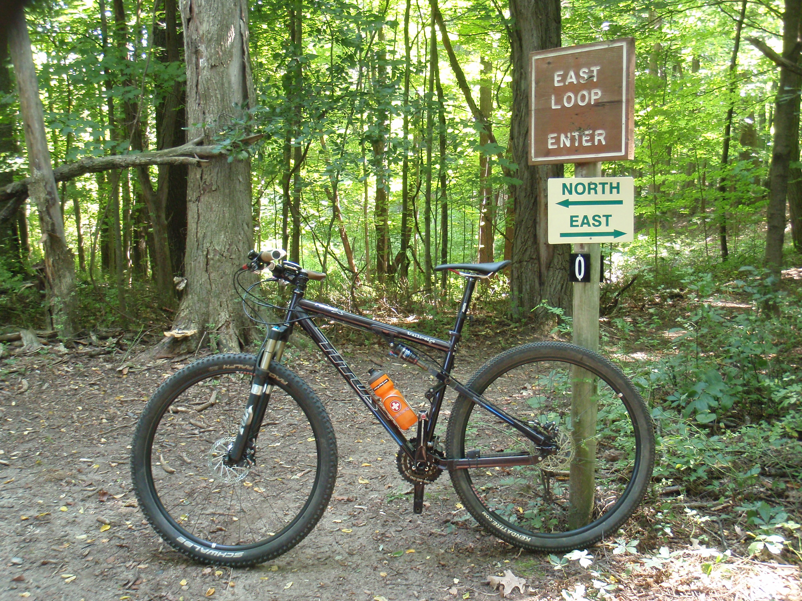
Having to close a gate behind one’s self is a bit abnormal for cycling in this area. From what I’ve read it seems common out west and in Europe, but I’m not aware of any legal trails in Michigan that have gates which one needs to open and close in order to traverse.
I’m really happy about this entrance, as it’ll allow one to enter Addison Oaks from the west. The other (and larger) part of the project that installed this entrance is a path connecting through Addison Oaks, along some boardwalks, to Addison Oaks East, leading to Oakland Township’s Cranberry Lake Park. This adds a nice, safe, easy option for dirt road riding in this area.
Here’s two more photos of the gate: gate open and the latching mechanism, with the chain looped around a metal post.


