
In preparation for Lumberjack 100, the training plan that I’d been following dictated an 8 hour ride today. Erik also had to ride today (but only for seven hours), and we ended up planning to meet at the Clarkston Road crossing of the Paint Creek Trail at 6am. This got pushed to 6:20am as I had to run back home and pick up a forgotten bottle and my shoes (two separate return trips), but eventually we were on our way.
The ride involved laps of Bald Mountain, Addison Oaks, and the Four Corners (Indian Lake, Barr, Drahner, and Lake George), which worked out well and tended to put us back in Addison Oaks right around the times that we were due to mix up more drink stuff. Due to a bit of slacking (and frequent pee breaks) and talking with Shari at Addison we ended up with almost two hours of downtime during the ride, so it was good that we started out so early.
Just after the 7 hour (moving time) mark we were near the cabins at Bald Mountain and Erik headed back towards his car while I started thinking about what I wanted to do for the next hour. With my computer saying I’d already ridden ~82 miles, I got an itch to try and go for a full 100 miles (often referred to as a century). I finished up the lap of Bald Mountain then rode back over to Addison Oaks, as mental calculations told me this should put things at just past the goal.
Despite angry looking clouds and a beautiful front passing over us this morning, we missed getting rained on. Half-way through this final lap of Addison Oaks the skies once again darkened, but this time I wasn’t so fortunate. Heavy winds gave way to drips, and by the time I got back to Bald Mountain a solid rain was falling. This lasted throughout the rest of the trail and for most of my ride back, but ended just as I reached the parking lot, which was fortunate as it made putting things away and changing much easier.
All said, this was a really good ride. I ticked off just over 100 miles, for the first time ever. While tired I still could have ridden more, as my legs were (and still are) feeling pretty good and not too much of me is sore. Reviewing the post-ride data I think I should probably have kept my heart rate a little higher to conform to the training plan requirements, but hopefully things will be fine in a couple weeks.
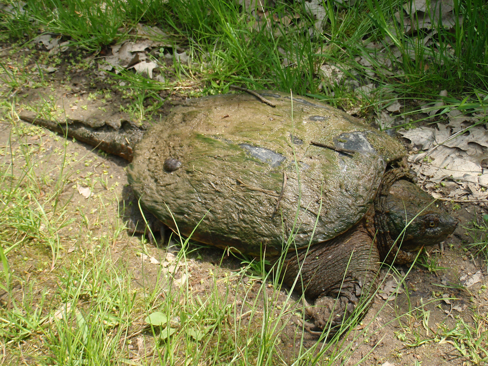
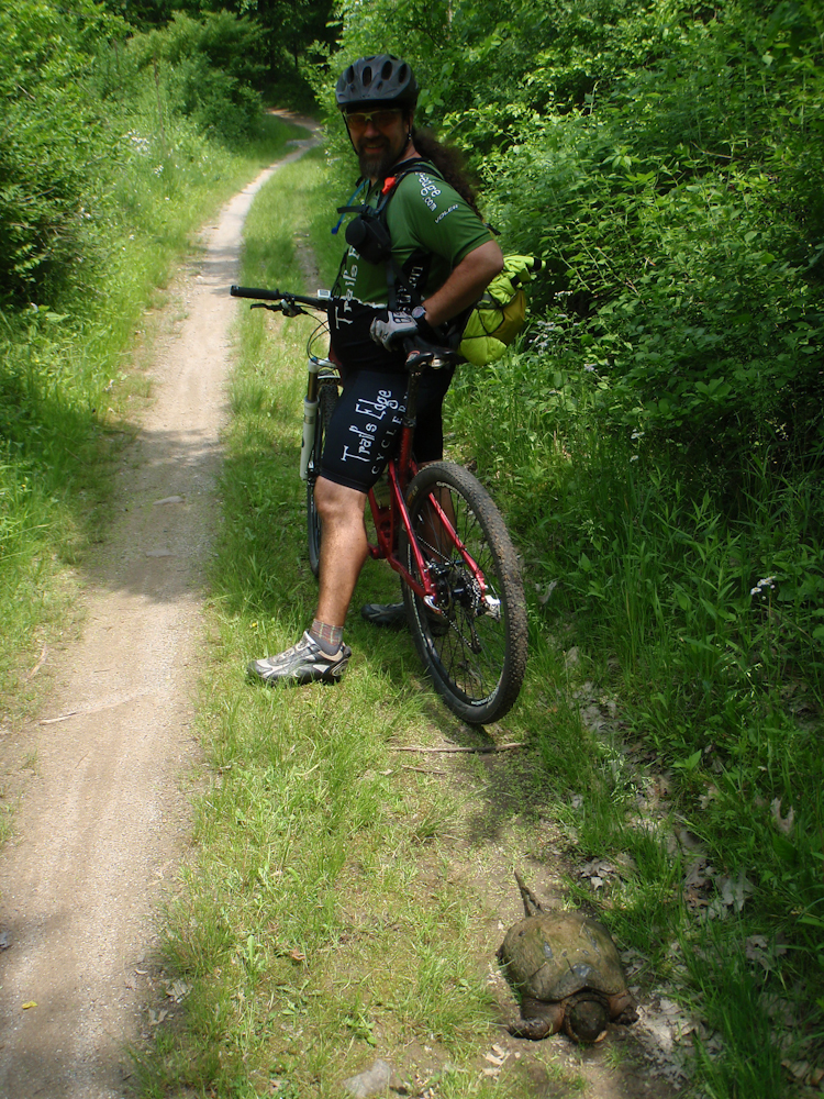
One odd thing from today’s ride: we kept encountering turtles, some of whom needed a bit of help. Two of them were on roads (and bound to get hit), with one having clearly fallen down a dirt embankment which it wouldn’t been been able to climb. These were relocated off into the brush in the direction they had been going. Three more were found on trails where bikes could easily hit them, but only two of these were moved as one was a basketball-sized snapping turtle (seen above). Finally — and unfortunately — there was a sixth turtle on Indian Lake Road which had already been hit.
Now that I’m home and having finished a large meal from Khom Fai I think it’s time to consider a shower and then bed. I’ve been up since ~4:05am and sleep is sounding good.
Here is the GPS plot and stats for today’s ride: link.
Here’s some photos from today’s ride:
· Erik and the snapping turtle found along the two track at Addison Oaks.
· Detail of the snapping turtle found along the two track at Addison Oaks.
· Another view of Erik and the snapping turtle sitting along the side of the two track at Addison Oaks.
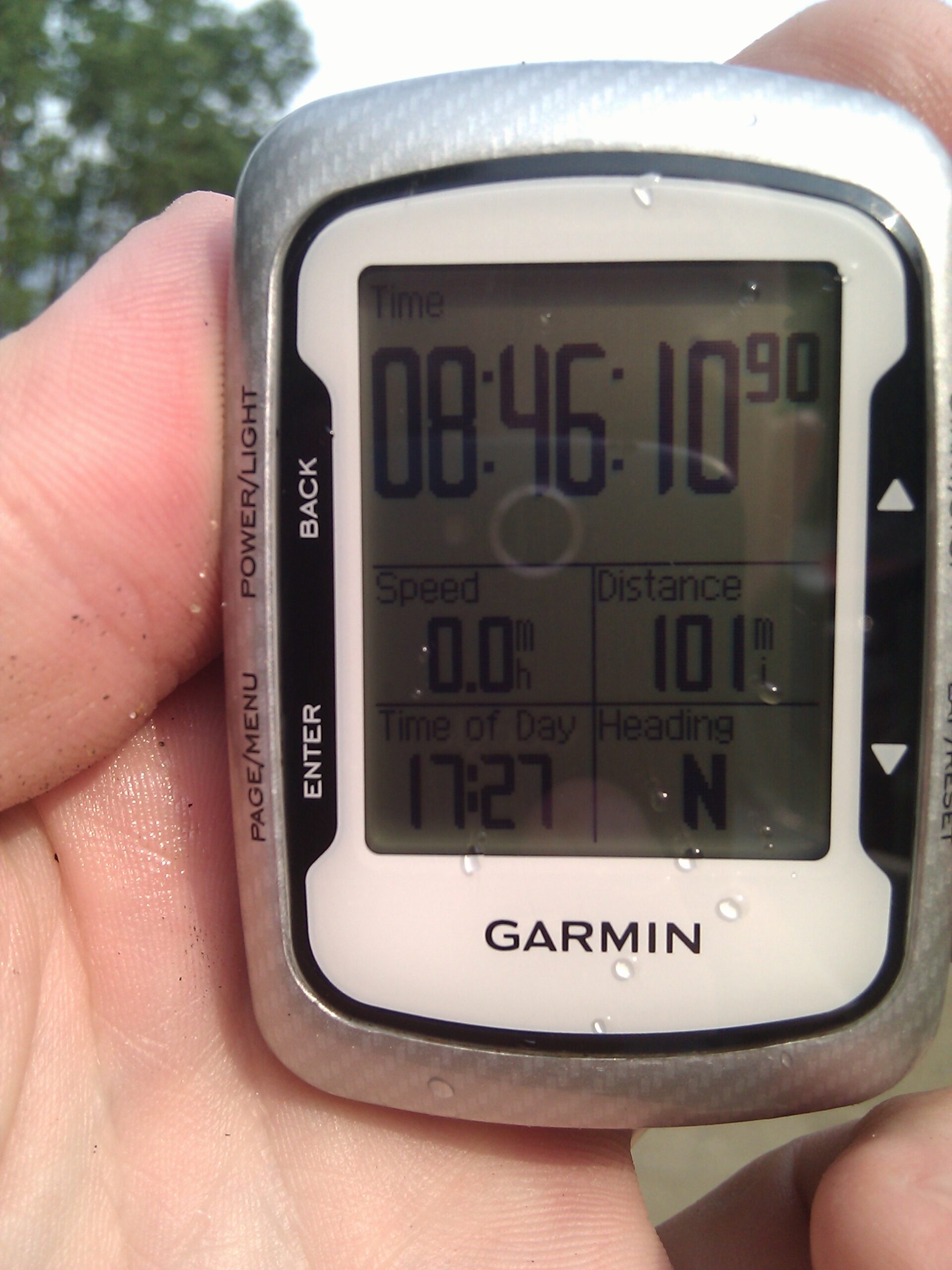
· 101 miles in 08:46:10 of moving time, shown on the Garmin Edge 500. My longest ride to date.
· Gang Gai (red curry) from Khom Fai, a nice post-bike-ride meal.
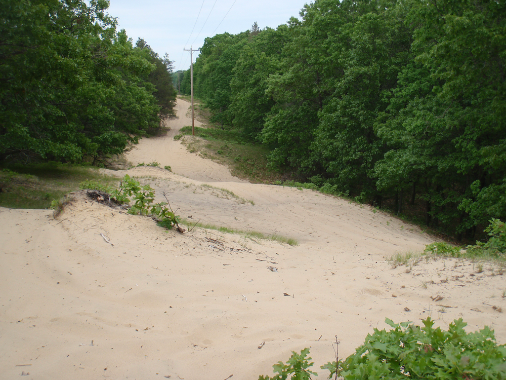
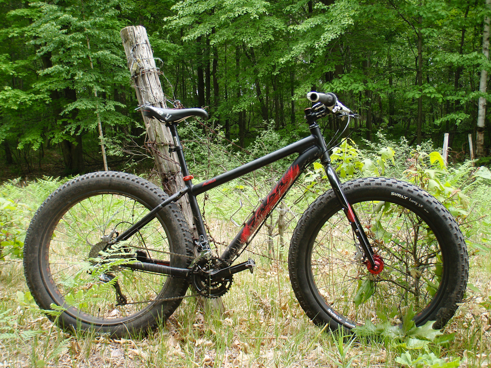
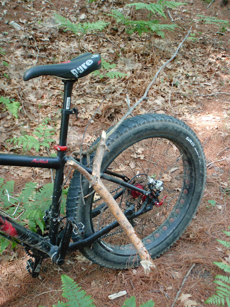
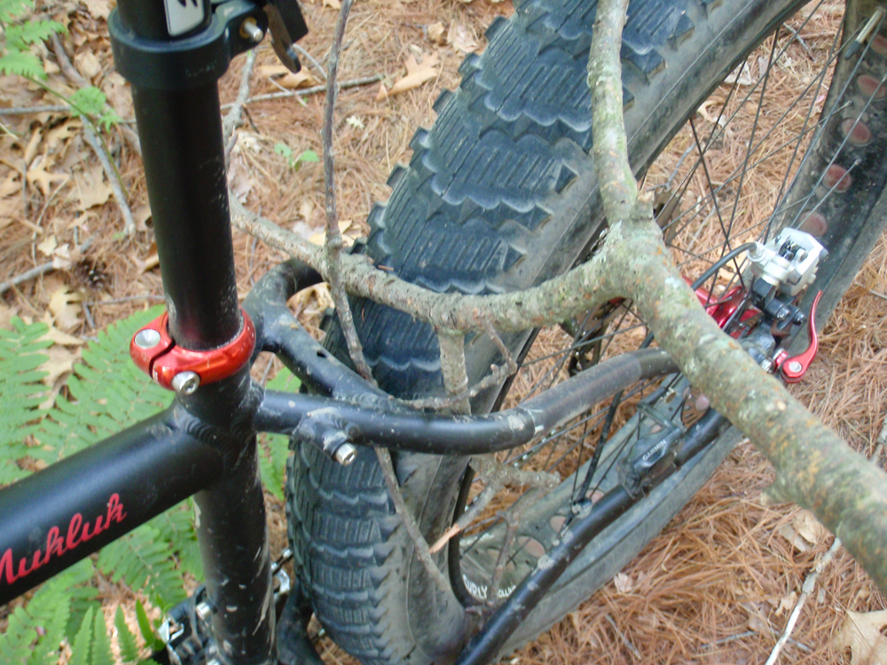
If you’re interested here’s a few more photos taken during yesterday’s ride on the dunes southeast of Sleeper State Park. This was a fun ride, but I found that I couldn’t keep going in sand over ~4″ deep:
·The Mukluk on some dunes just southeast of Sleeper State Park.
·Sand along the power lines just south of Sleeper State Park. This was too loose for me to ride.
·The Mukluk leaned against an old barbed wire fence somewhere southeast of Sleeper State Park.
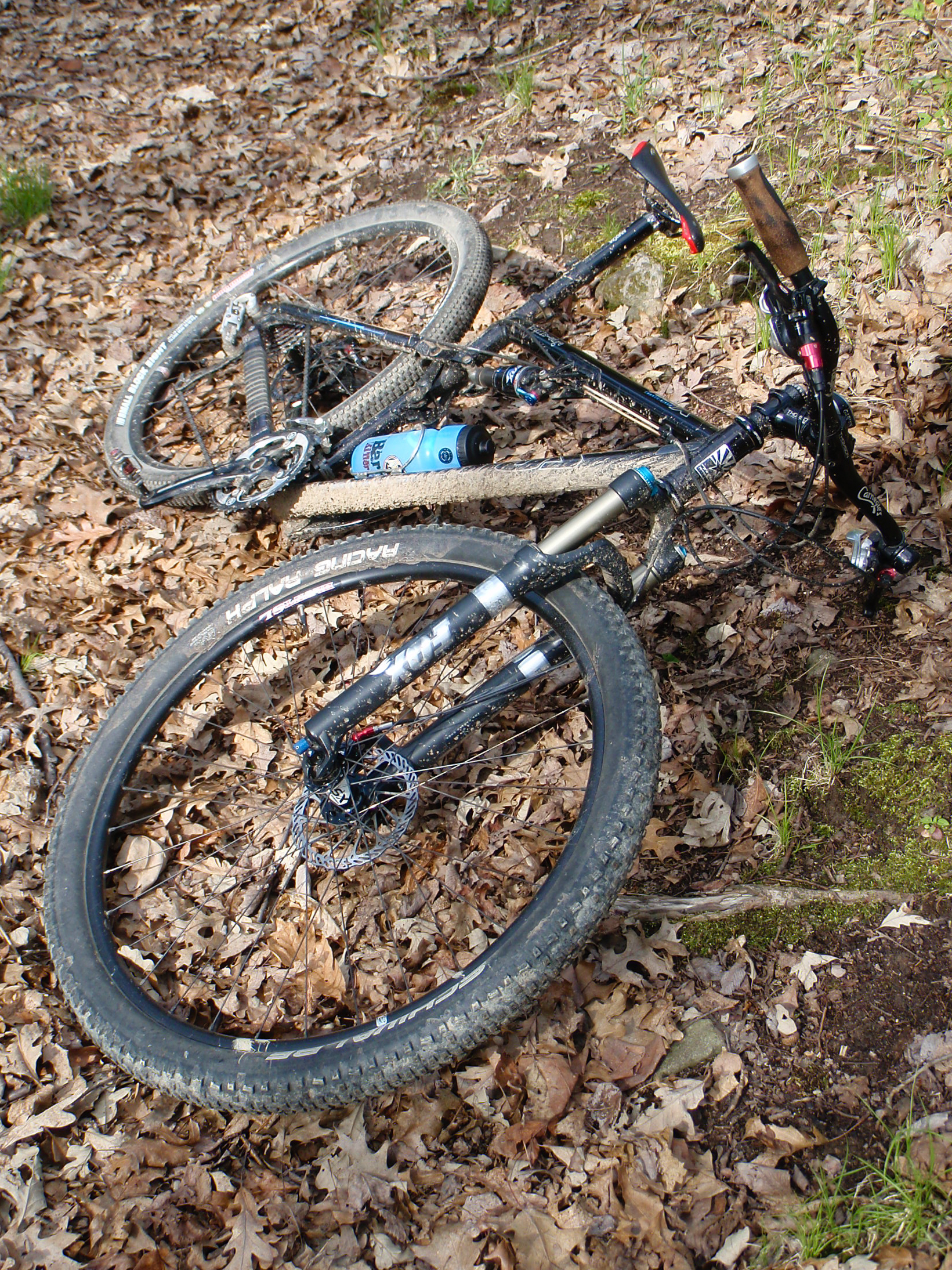
·Somewhere along the way I picked up a stick.
·Closer view of the large stick in the frame. It was easy to remove and basically fell out.


