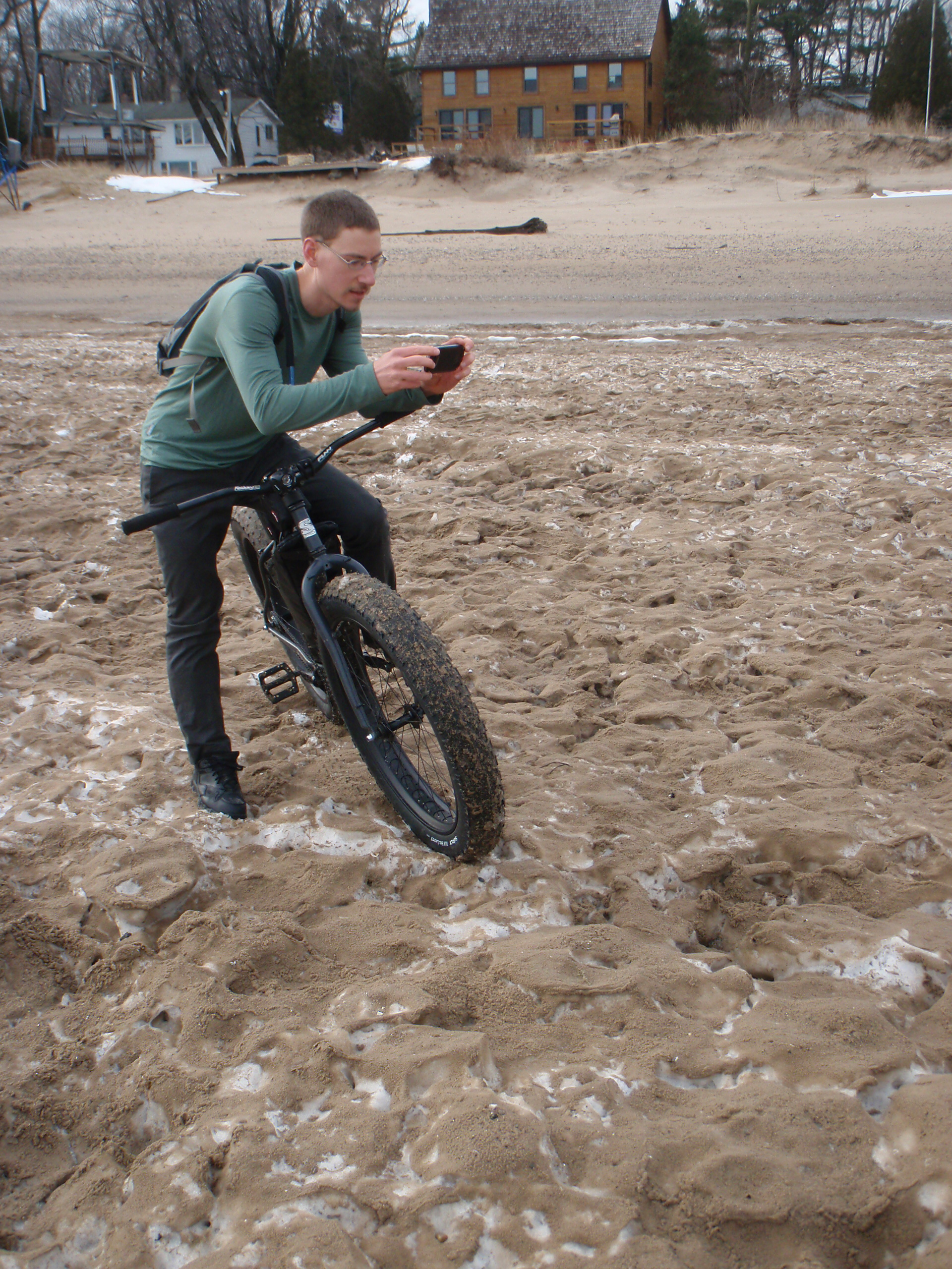
Chilly Evening MOT Ride

This evening I headed home from work early enough to get a ride in, and found myself parked at Onyx and ready to go at about 5:15pm. Being in the 40s I was fairly comfortable in a jersey + wind jacket, knickers, and autumn-weight gloves at the beginning, but by the end of the ride it wasn’t enough. With the sun setting temperatures were dropping, making it cold enough that I was shivering in the car on the drive home and needing a long, hot shower before I could feel my toes.
The route ended up taking me to Armada and back, and on the way out I got to experience my first serious leg cramp after trying to push myself hard for ~10 miles straight. Just as I stepped on to my pedal to cross 32 Mile Road my right calf clenched, and I had to stop for a few minutes afterward to let it loosen up. It felt odd throughout the entire rest of the ride, but thankfully never got as bad as when it’d locked up.
Not long after turning back in Armada I crossed paths with Tom Payne, with us seeing each long enough to say hi and hit hands (or whatever that thing you do when passing people where it’s sort of like a high five, but not up high and not with a full hand). I kept pushing on back towards the car, keeping an eye on the setting sun, when not long after passing through Romeo I received a call from Danielle asking for help while she was in a spinning class. It seems that the cleat had come off of her shoe becoming stuck in the pedal, and she was looking for suggestions for how to get it back out. I was cold enough at this point that I had difficulty holding the phone, but a few minutes of rest did help warm my hands again.
Just as I was taking off from the phone call someone a guy named Chris rode up behind me, and he and I ended up finishing up my ride together. He does mostly road riding and thus was pushing along at 19-20 MPH for most of the route. I was able to keep up riding side by side for most of it, but as we got near the end I tucked in behind him and drafted for a bit. 30-ish miles of road-ish riding is a fair bit for me, and not being accustomed to that kind of sustained output I really needed the help.
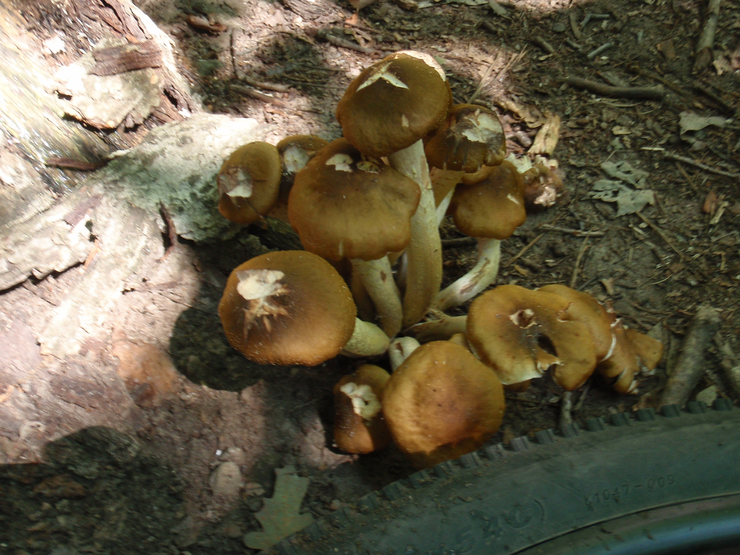
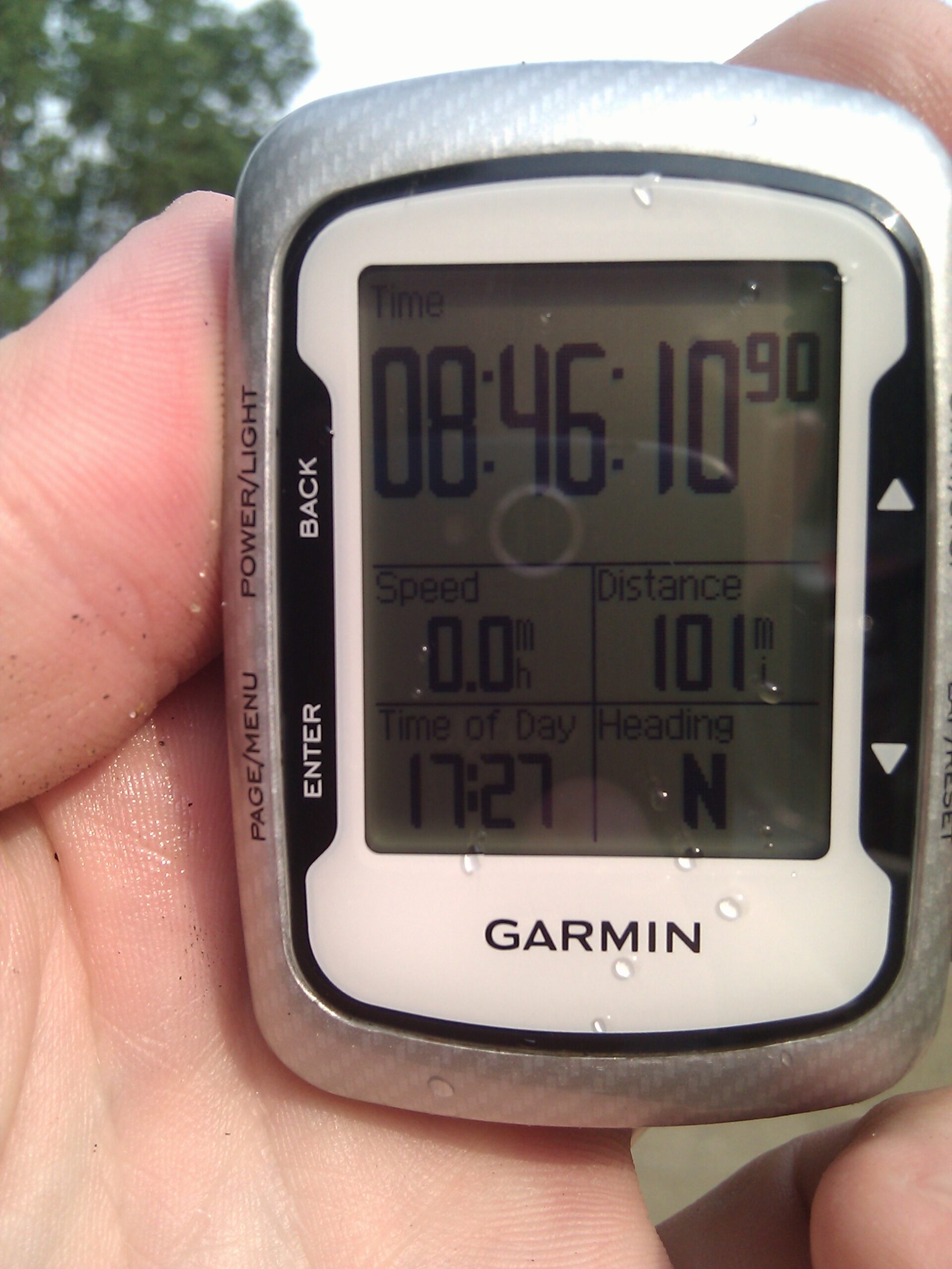
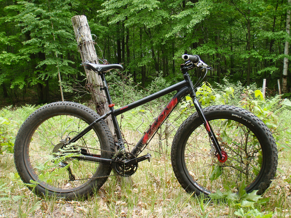
This ended up being a very nice ride. While I was cold it was great to see someone I knew, get to ride with someone else, and just to get out and about. The photo above was taken at my turnaround point near the grain elevator in Armada. The Strava data for the ride can be seen here, showing what seems like a weirdly straight route. That’s how it goes this time of the year, though.


