Poor Suburban Planning

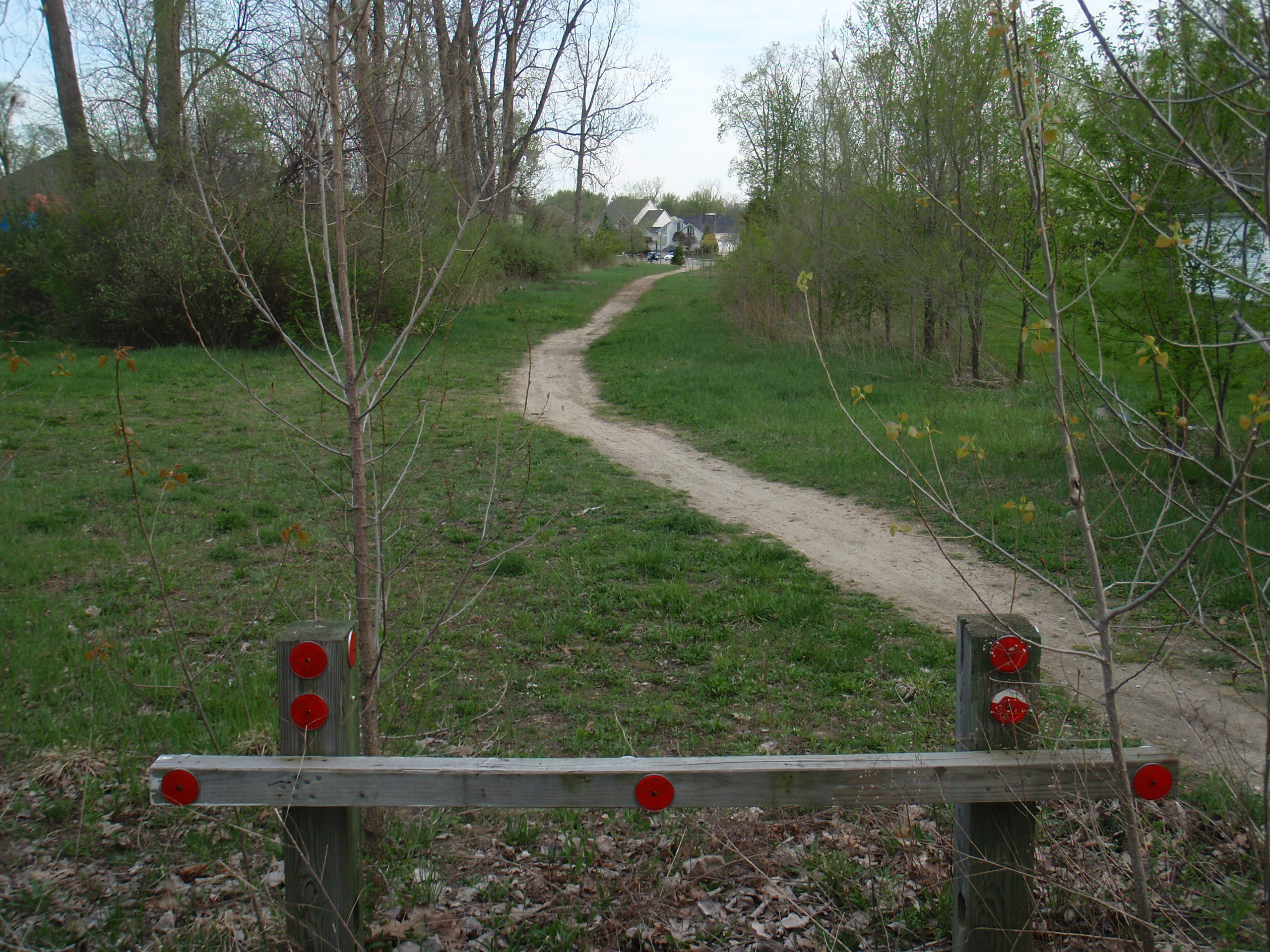
According to Google Maps and Earth, this is White Mill Road as it heads north from Wiloray Ave, as seen here on Maps. For some stupid reason this does not connect to the other half of the road, and the neighbors seem to have fenced it so it’s not passable by bike or foot. South of that intersection is this nice, but clearly seasonal dirt path leading not far to the other part of White Mill Road.
This all disappoints me, because this is the one point which would make a route between 22 Mile and 23 Mile Roads, east of Mound and west of M-53, possible on bicycle without riding on paths/sidewalks or cutting across large grassy areas (baseball diamonds) in parks. After showing my friend Erik the route to work from yesterday he was finding some potentially alternate connectors for me, which would cut down residential streets instead of along sidewalks. This was one of those connectors, and when I went to check it out for a short post-work ride, it was rather disappointing.
On the upside, I did come across these dirt tracks which I’ll investigate when my bike has knobby tires back on it. I half expect these to lead to some dirt jumps I’d been told about before, or if nothing else they might just make for interesting siteseeing.