Automatically Geotagged Moblog Photos
I’ve been using a camera app called SnapPhoto since switching to using a TMobile G1 / HTC Dream / Google Phone. It’s a rather nice camera app, as it does stability detection before taking the photo, manual white balance setting, JPEG quality settings, etc.
But, what I like most about it is that it uses the built-in geolocation stuff (GPS and/or cellular) to add the GPS EXIF headers which Gallery can parse and make a Google Map from. Therefore, if you visit my Moblog and click the View Album on a Map link, you’ll be presented with a map showing where I’ve taken Moblog photos.
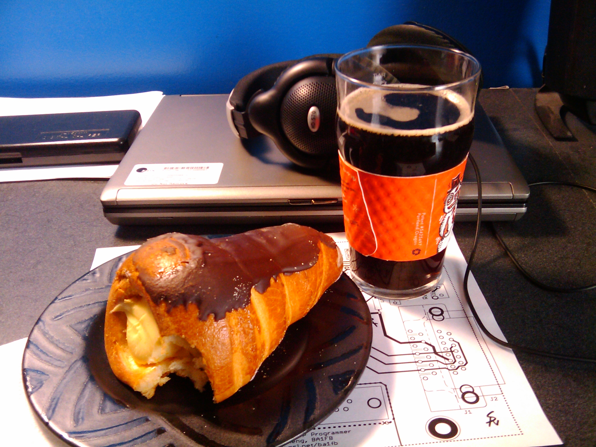
As an exercise, find my house and you can get a link to the photo above of my breakfast from today (coffee and a Mexican pastry). Now I just need to wait for there to be a good Gallery upload app for Android and these can be taken, captioned, and posted all directly from the phone. (There’s one which kinda works, but not with my httpd and in a few other odd situations…)