Macomb Orchard Trail to Richmond
Yesterday I took off riding towards the Macomb Orchard Trail head at 24 Mile and Dequindre, then started down the trail towards my parents house. It was a good ride, except for the cold making my exposed knees cramp up a bit. I was also wearing the likely too small Canari jacket, which kept wind off of me, thusly keeping sweat from drying. Not that I wanted the 15 MPH cold headwind on me much…
After a bit over 32 miles I arrived at my parents house. My mom made a pizza then waited for my dad to get home from work. After dinner and some visiting they drove me back home, as I really didn’t want to head back out for another 30 miles in dripping wet clothes and < 50°F weather, right as the sun was setting. I should have done a GPS plot of the route I took so that I could display the route, but I didn't. So, here's the two maps of the trail (1 · 2).
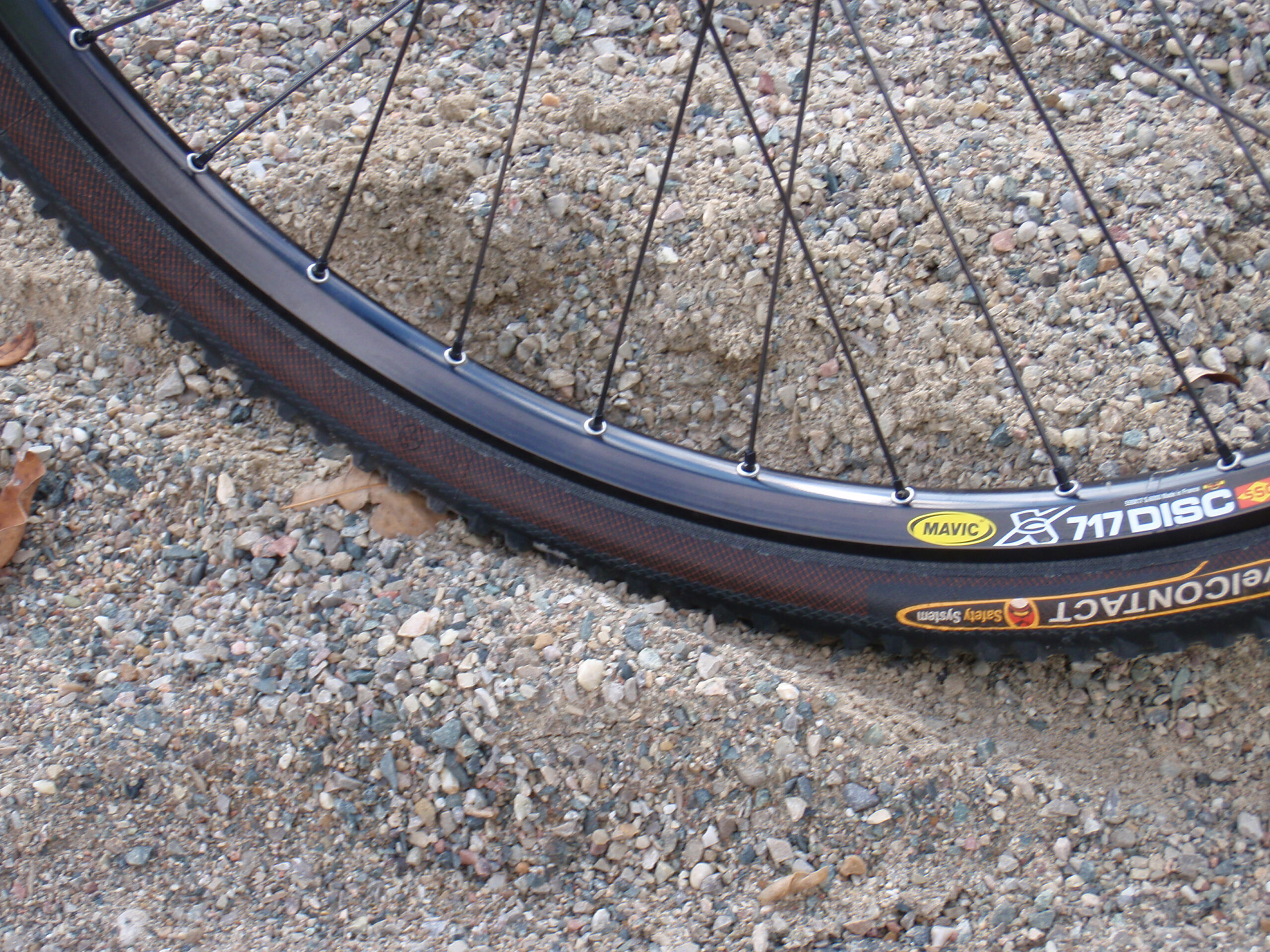
As the Macomb Orchard Trail wasn’t finished properly in quite a bit of its rural area I cut off a bit of distance by taking 33 Mile Road instead of the route up to Armada. This was a nice, albeit a bit washboardy rural road, with barely any traffic on it. I would normally have just taken the trail, but the contractor for it has laid the wrong kind of gravel on the trail making it nearly unridable. This gravel is loose, doesn’t pack, and one sinks through it and tires just spin. Here’s a photo of my wheel in one of the worse parts.
Here’s the route I took:
· 22 Mile to VanDyke
· VanDyke to 23 Mile
· 23 Mile around the curve to Dequindre, to the start of the Macomb Orchard Trail
· Macomb Orchard Trail to 33 Mile
· 33 Mile to Macomb Orchard Trail
· Macomb Orchard Trail to Richmond
· Main Street / Residential Streets to My Parents House
Here’s photos taken along the ride:
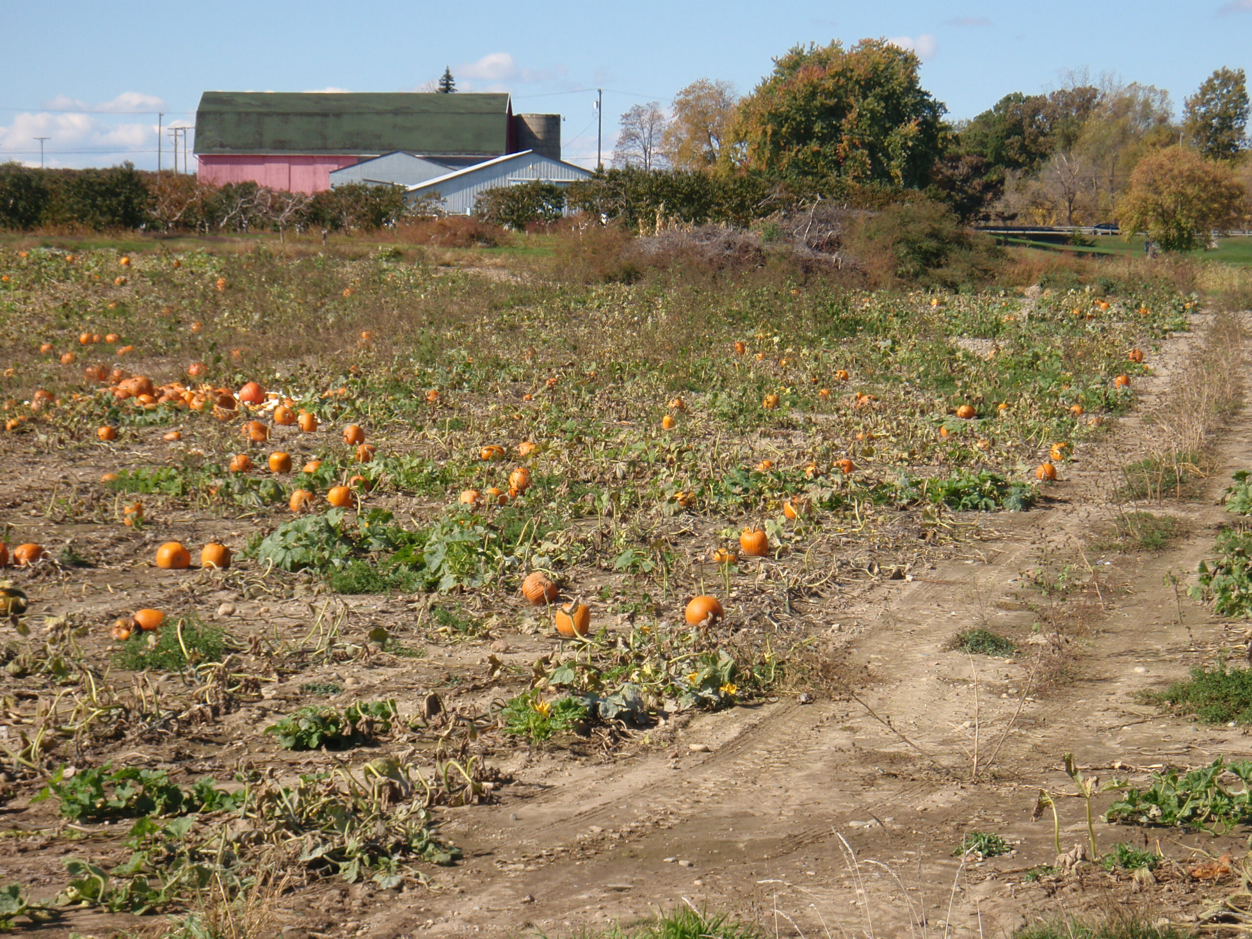
· Pumpkins growing at a farm along the Macomb Orchard Trail.
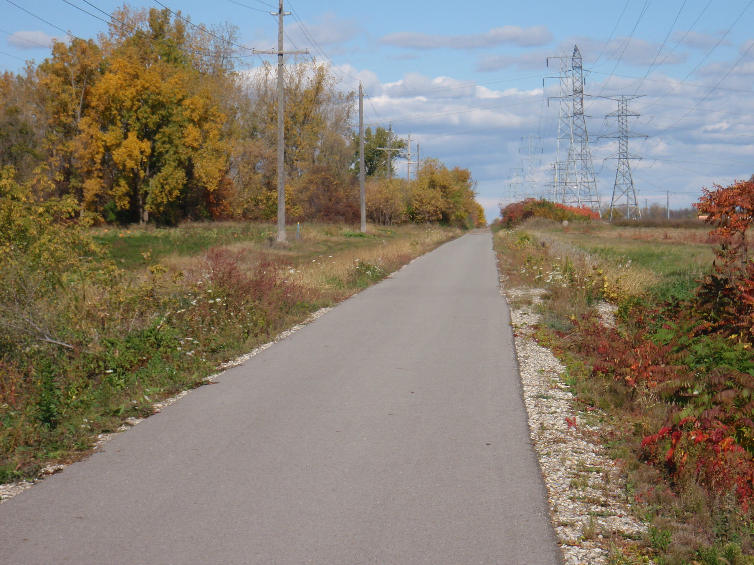
· Lengthy, straight section of Macomb Orchard Trail west of 32 Mile. It was very windy here.
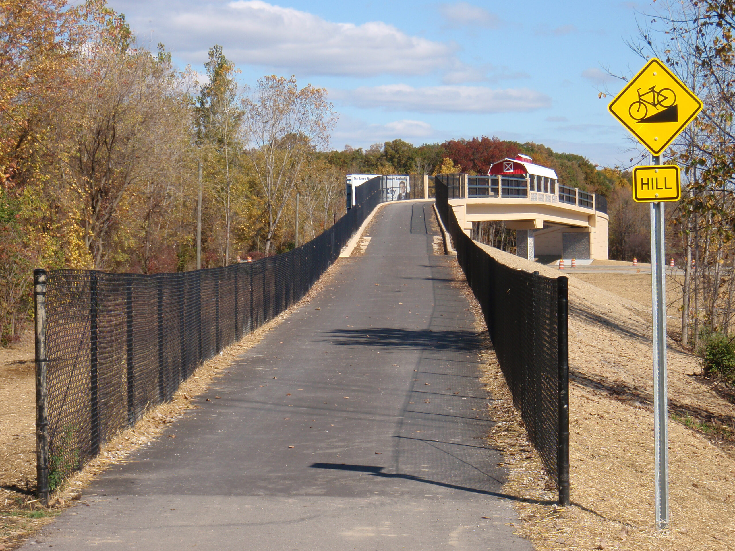
· Approaching the new Macomb Orchard Trail bridge over M-53.
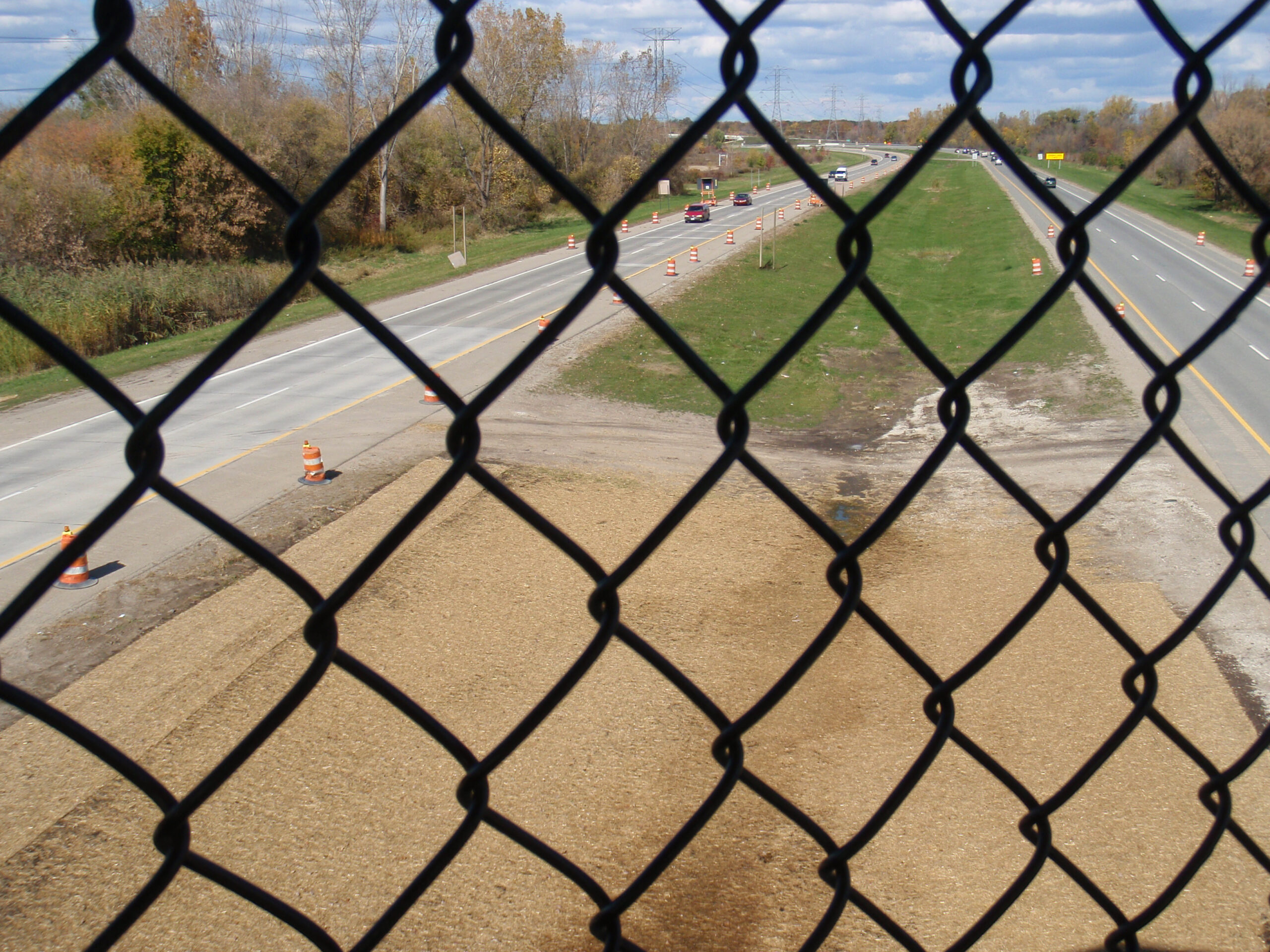
· Looking out at M-53 from on the new Macomb Orchard Trail bridge.
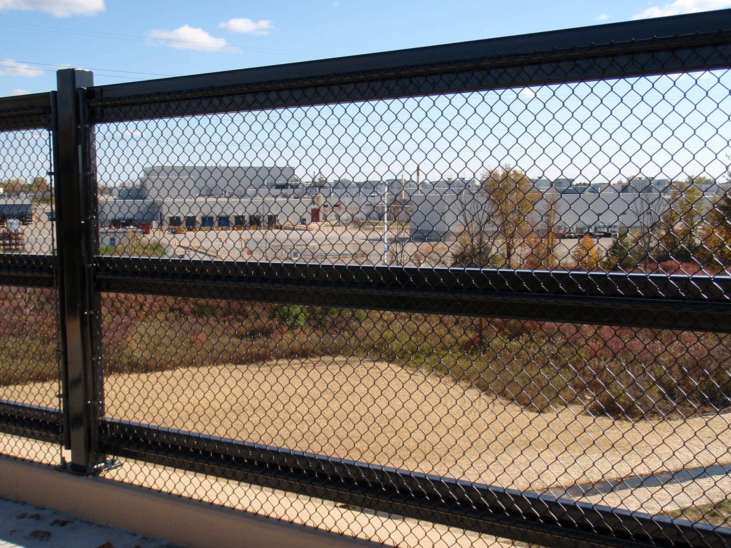
· Looking at the Ford Romeo plant from the new Macomb Orchard Trail bridge over M-53.
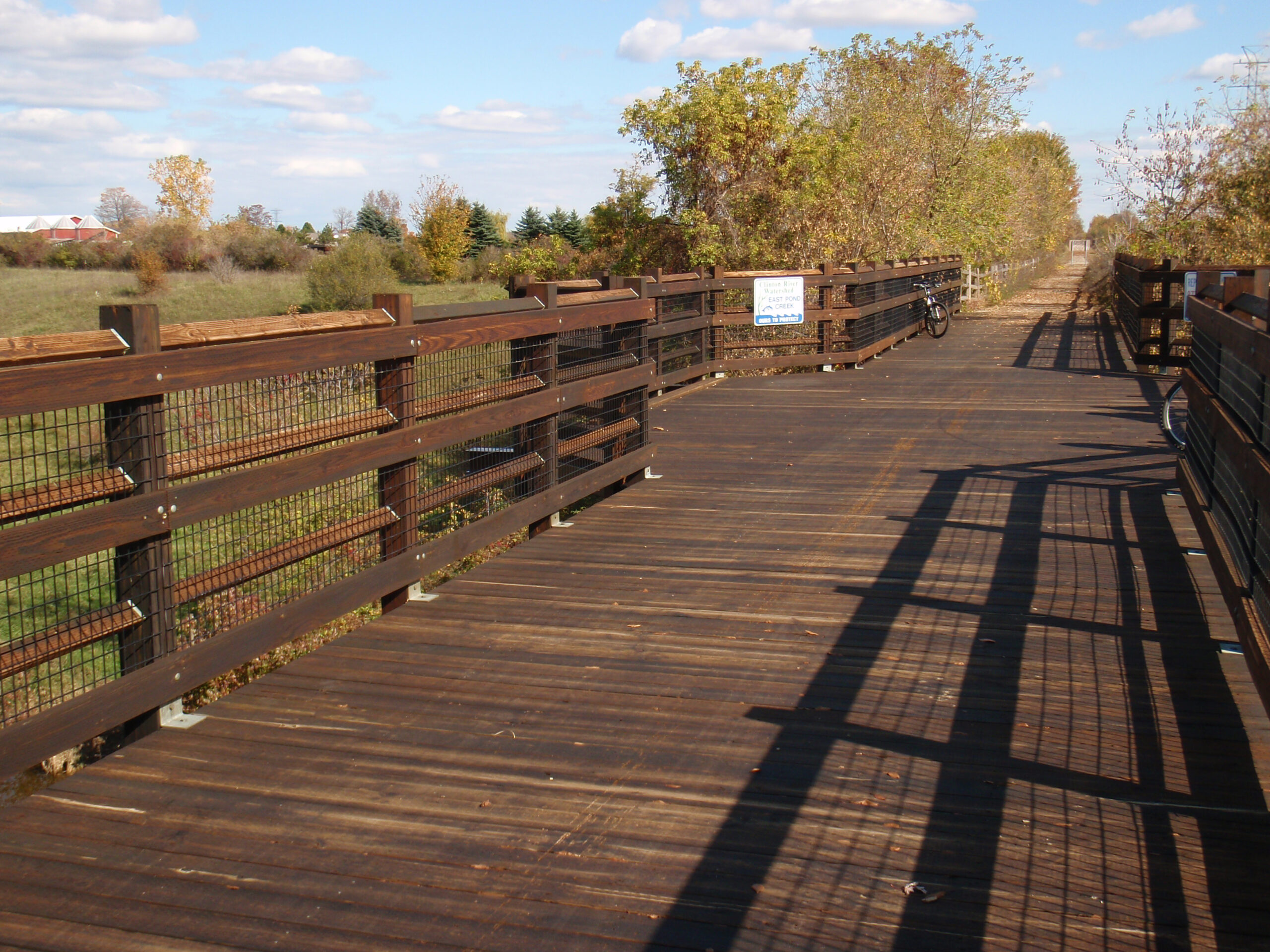
· This bridge along the Macomb Orchard Trail is closed, but not very well. Everyone takes it anyway.
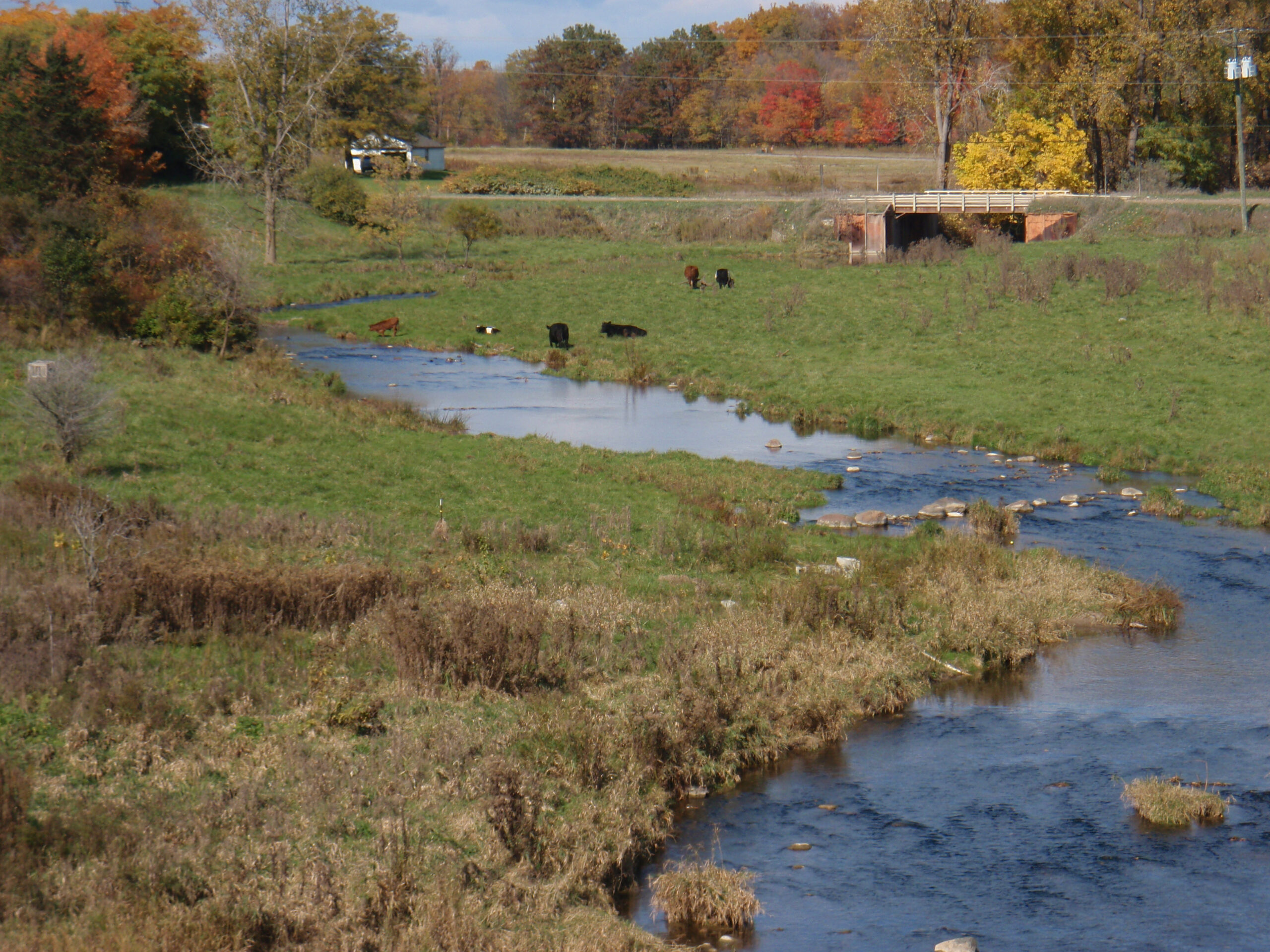
· Cows along 33 Mile Road, seen from the closed bridge.
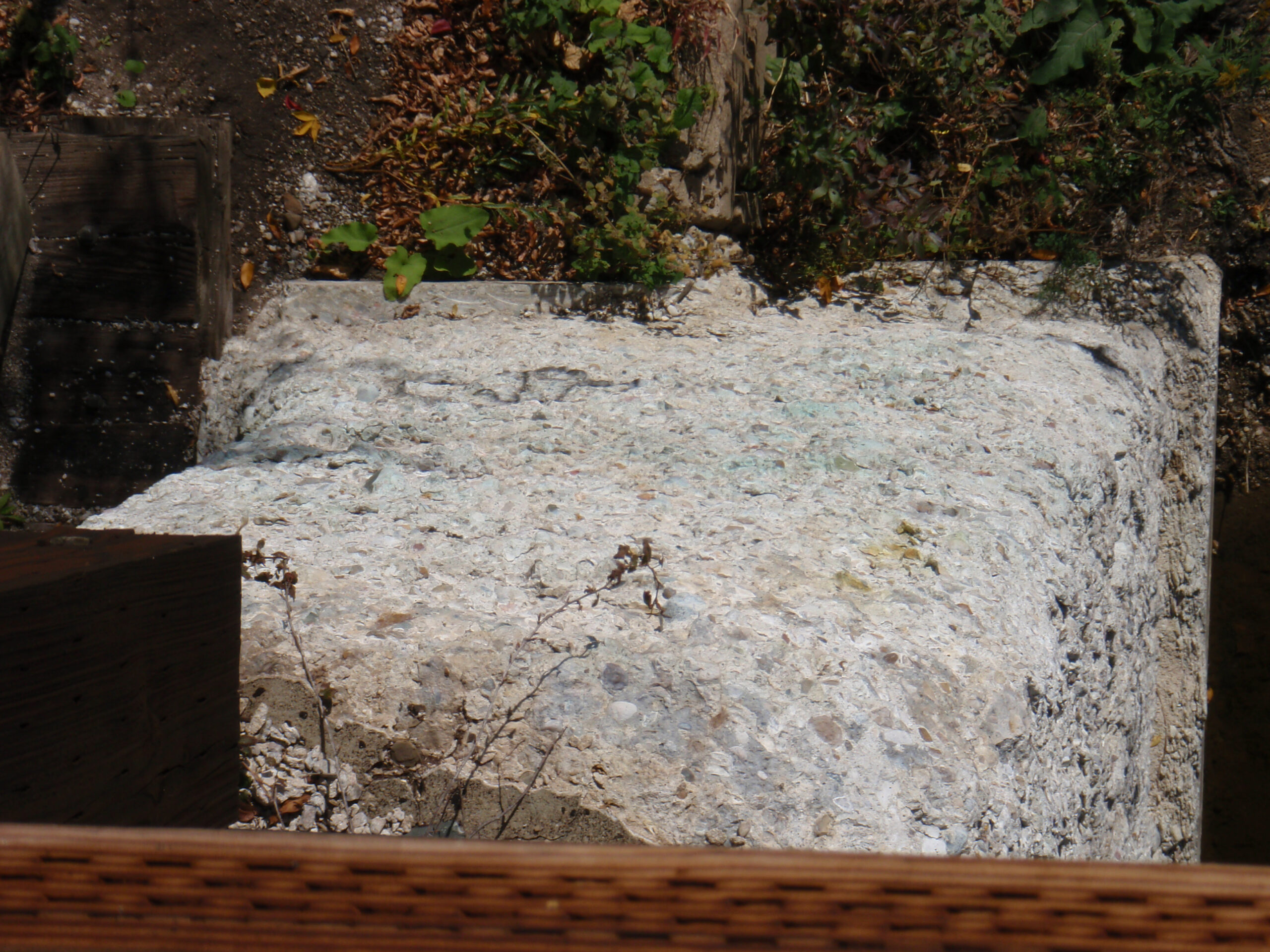
· Crumbling footings on the closed bridge.
· This bridge is closed because of the crumbling footings. It’s part of the trail route.
· The gravel on the Macomb Orchard Trail is very loose. It needs to be replaced.
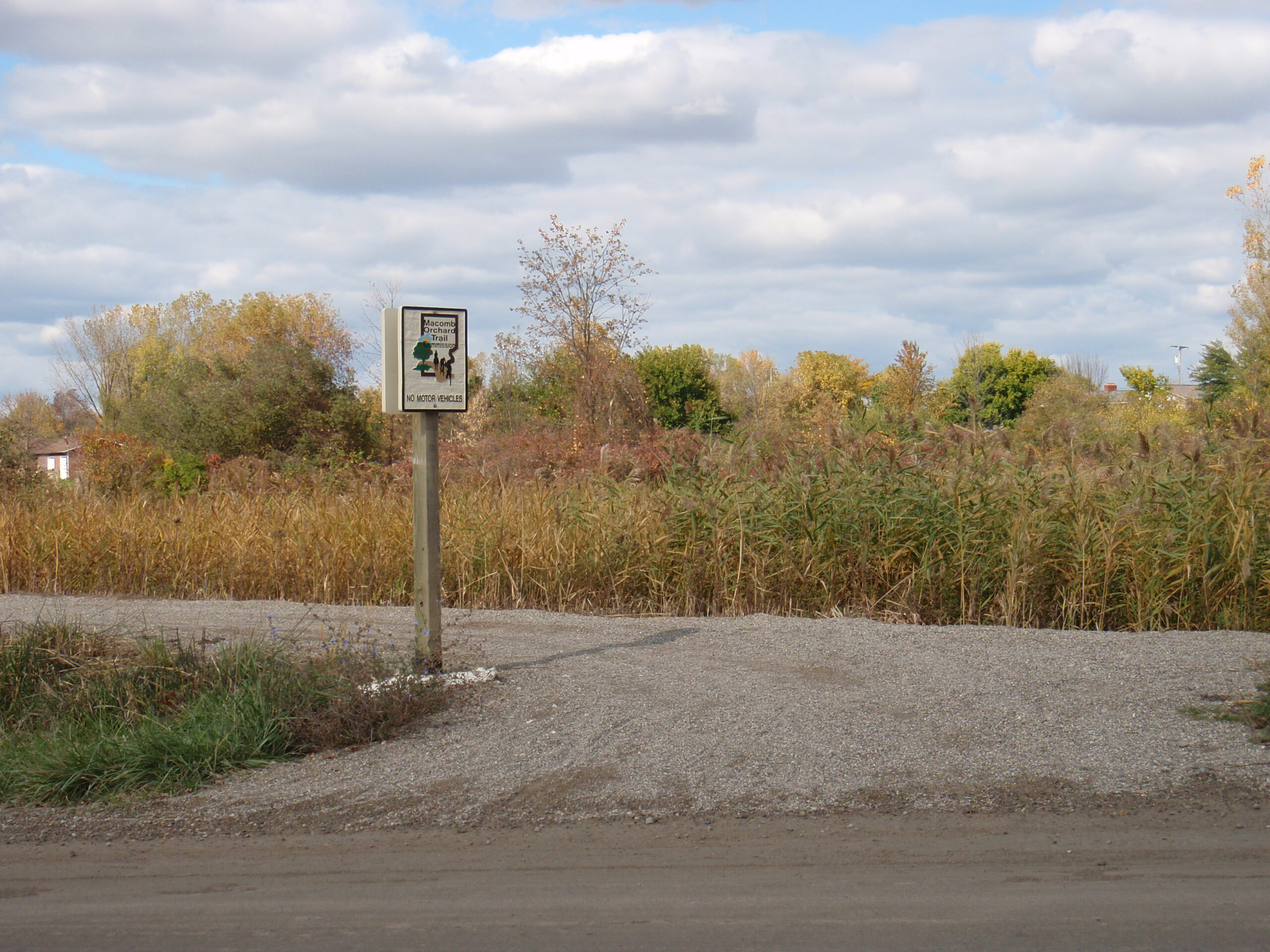
· The point where the east part of the Macomb Orchard Trail meets back up with 33 Mile Road.
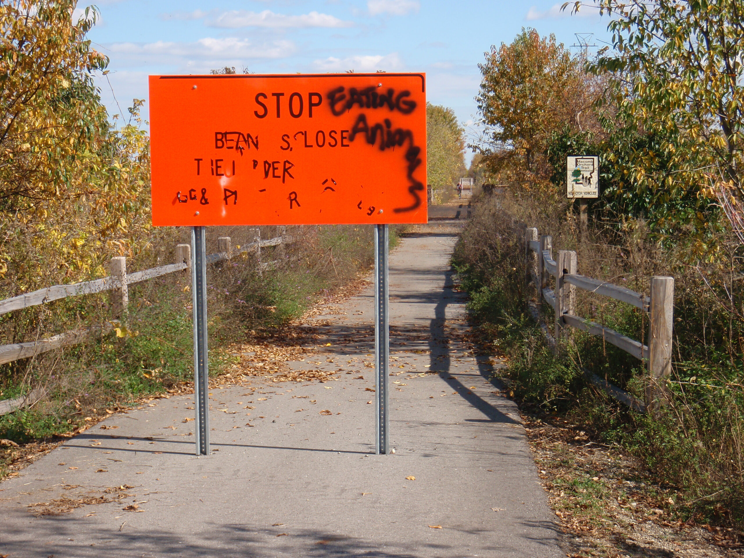
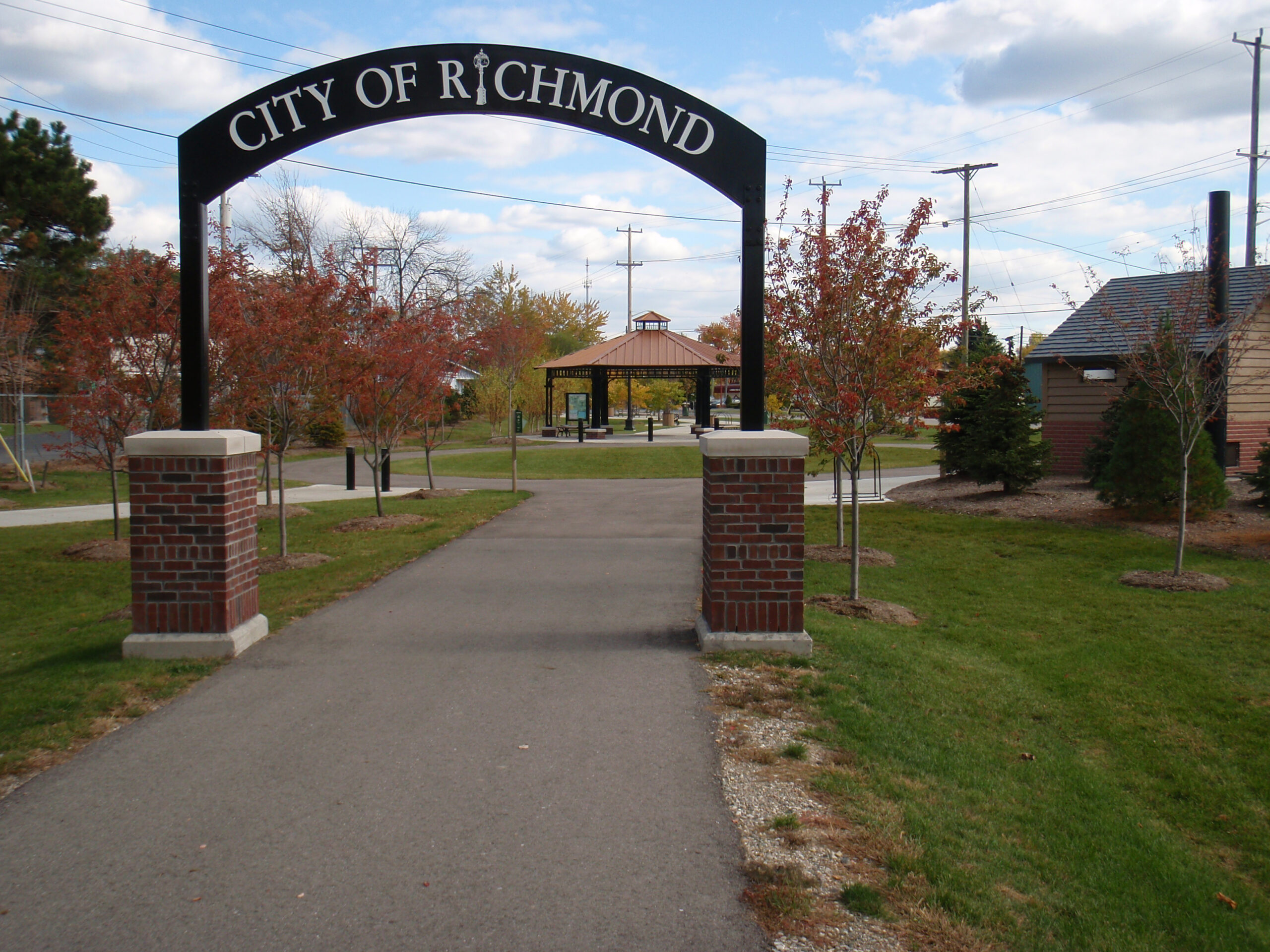
· The end of the Macomb Orchard Trail in Richmond, MI.
I think the bike on the sign is facing the wrong way. I wonder why is it not facing uphill.
Dubi: Yep, it is. I imagine that those fitting the signs just ordered a bunch of the warning, steep hill signs and put them up at the top and bottom of each hill. That said, it’s quite a nice bridge.