nuxx.net
Making, baking, and (un-)breaking things in Southeast Michigan.

Category outdoors

Cryostatis Lecture Potluck


On the way home from The Henry Ford Museum, Tiffany and I made a slight
detour and found The Cryonics Institute building at I-94 and Shook.

(Click for moblog…)

Yesterday and I headed down to Dearborn in order to visit The Henry Ford Museum. While I haven’t posted the pictures of the museum itself yet (I’m still picking through them), I wanted to put this one up.

From time to time I have read about The Cryonics Institute, but it was only a few months ago when I realized exactly where it is; right at I-94 and Shook.

Also, it appears that they are having a potluck / lecture at 6pm tonight, right at their facility. It may be interesting to go to one of these lectures sometime. Hopefully I could catch a glimpse of the actual facilities used to house the 72 humans and 42 pets currently in cryostasis at the facility.

Hmm. If I wasn’t already going skating, I’d find someone to go with. Oh, and bake cookies or something first. I think a visit to one of the US’ two cryostasis facilities is worthy of tasty chocolate chip cookies.

moved from livejournaloutdoorstravel

Detroit Historical Museum and Belle Isle


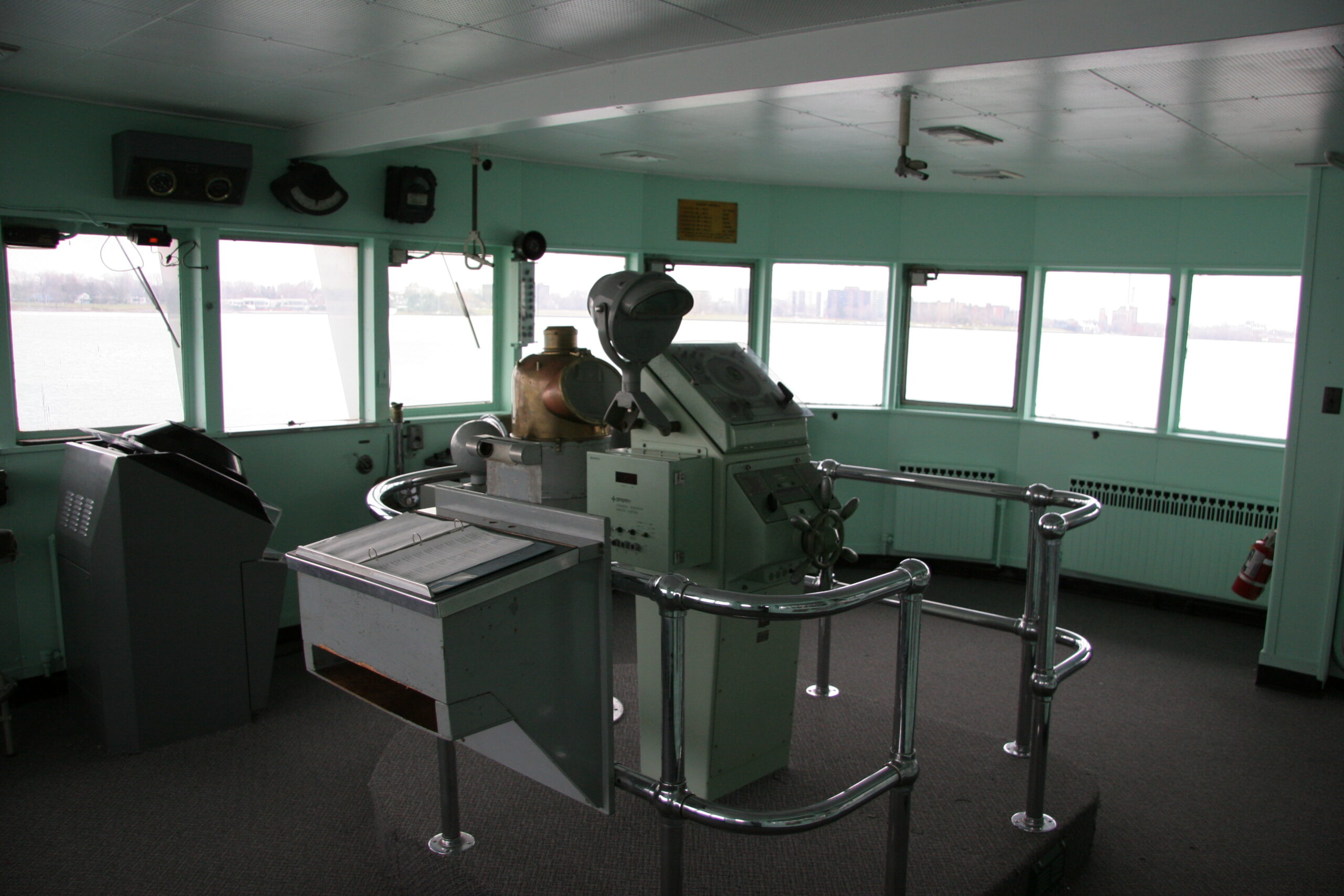
Inside of the ship’s bridge which overhands the Detroit River at the Dossin Great Lakes Museum.
(Click for more…)

Back at the end of December 2005, , , and I went to the Detroit Historical Museum, the Dossin Great Lakes Museum, the Anna Scripps Whitcomb Conservatory, the Scott Memorial Fountain, and a few other places on Belle Isle.

I finally got around to captioning the photos today, and they are available by either clicking on the photo above, or this link: Detroit Historical Museum, the Dossin Great Lakes Museum, the Anna Scripps Whitcomb Conservatory, the Scott Memorial Fountain, and a few other places on Belle Isle (photo gallery retired).

No, I’m not going to write much about them right now… Hopefully you’ll enjoy them, though.

Oh, and yes, I know the pictures are mostly crap. This was the first day I took my new camera out to actually give it a try. I’ve become a lot more familiar with it since then, and thusly the photos have gotten considerably better.

moved from livejournaloutdoorstravel

Inwood Hiking Trails in Snow


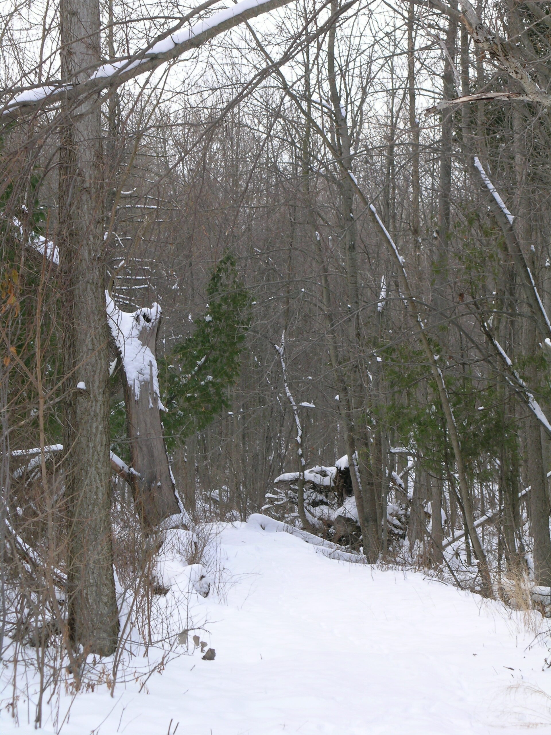
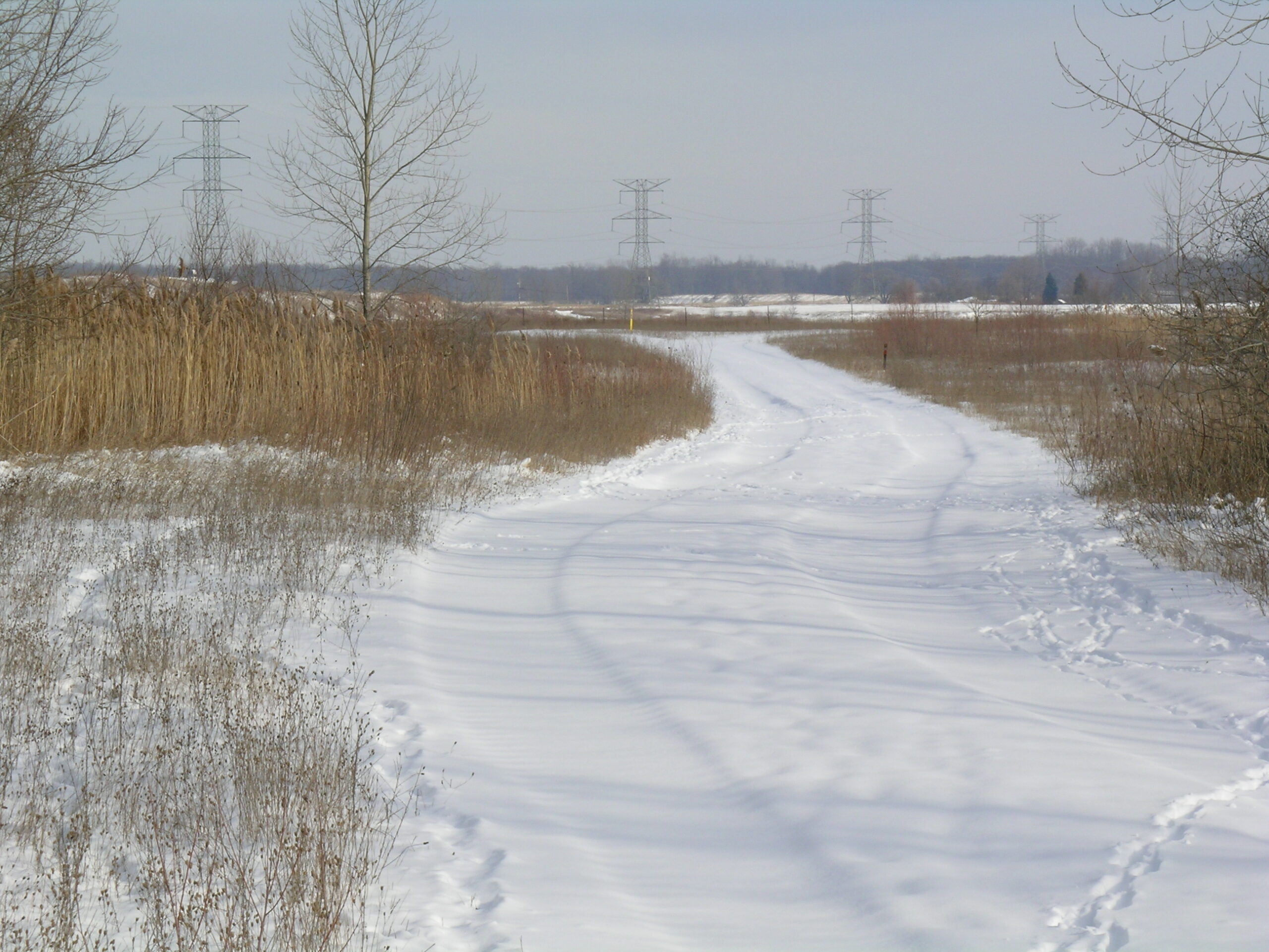
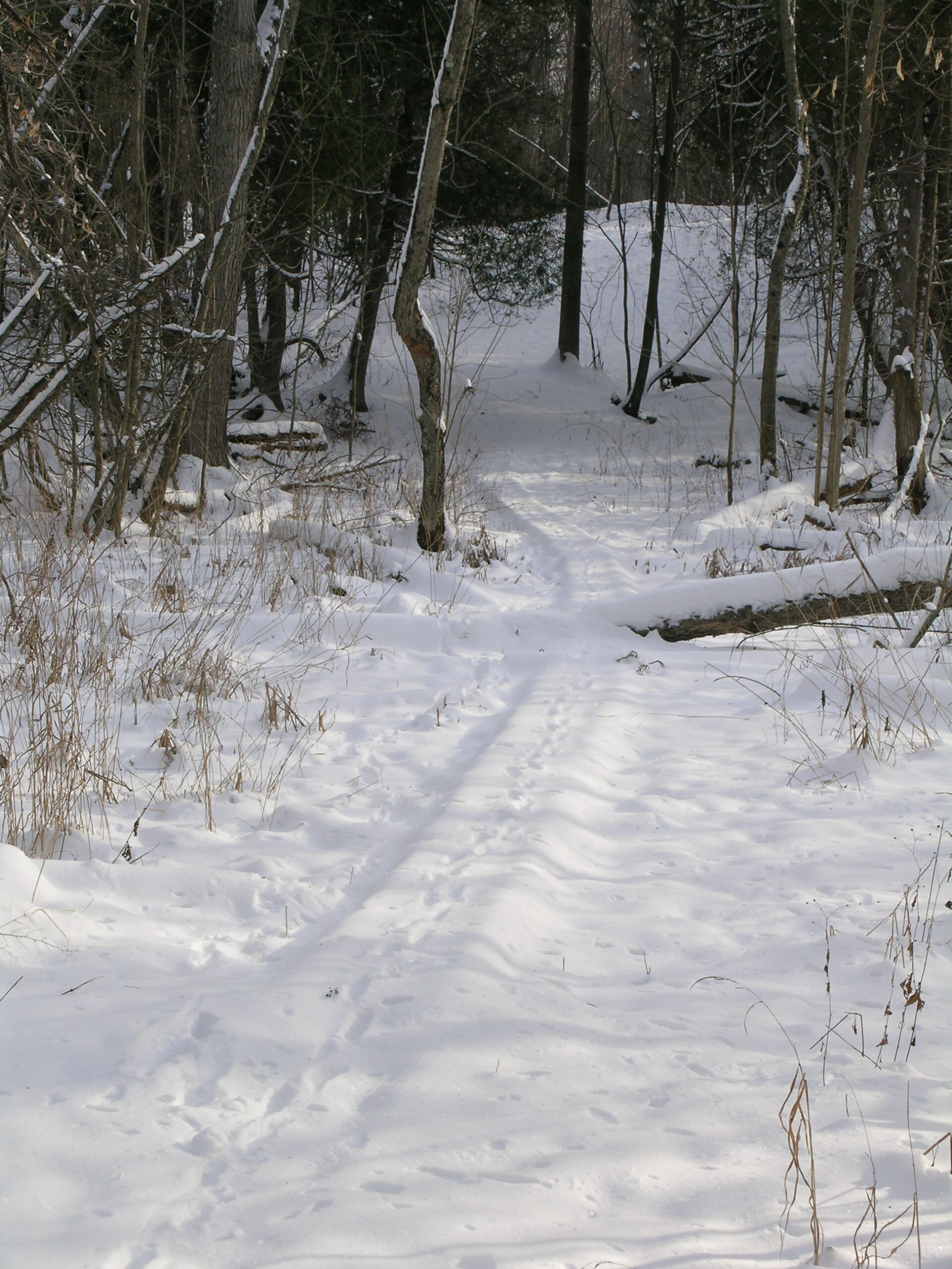
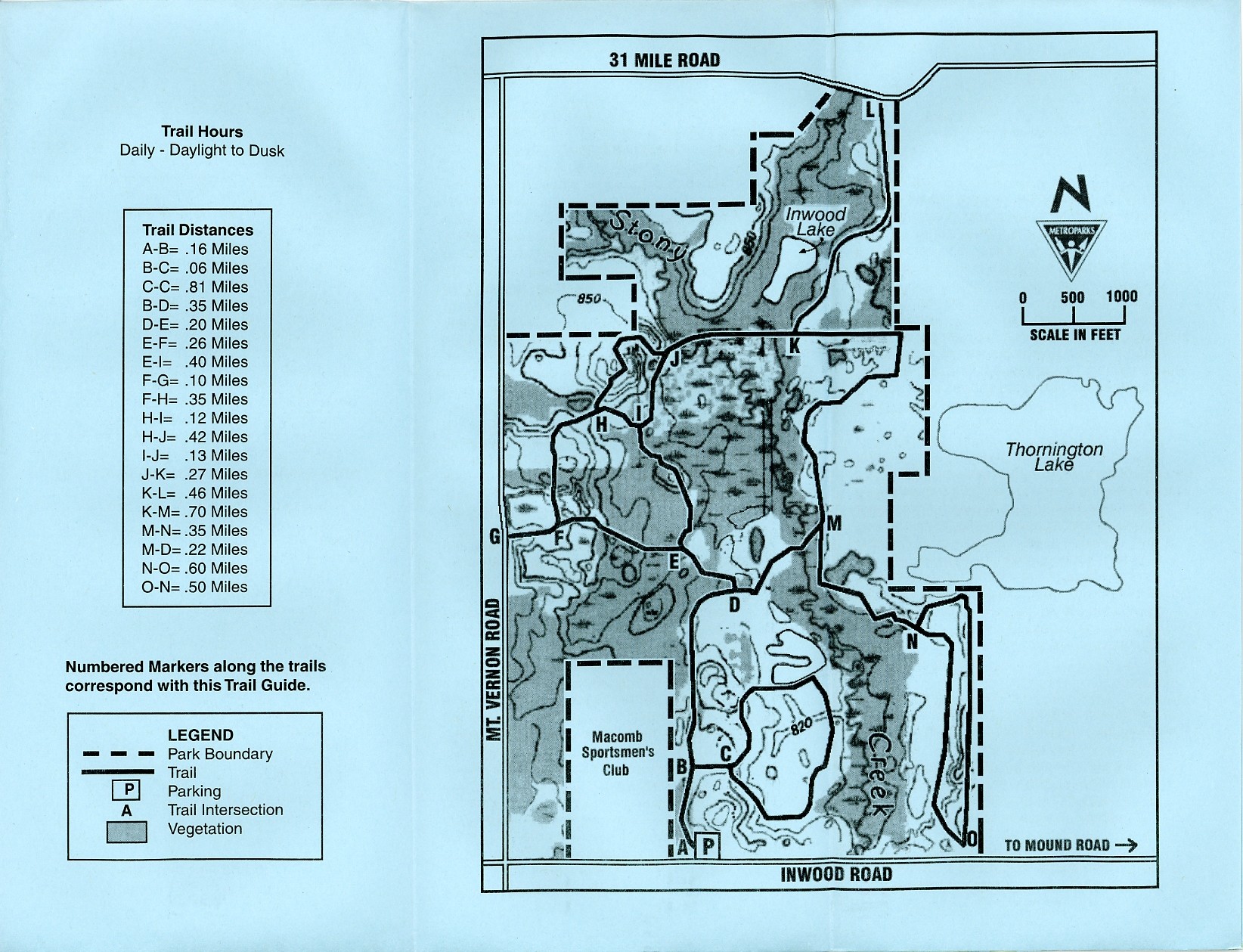
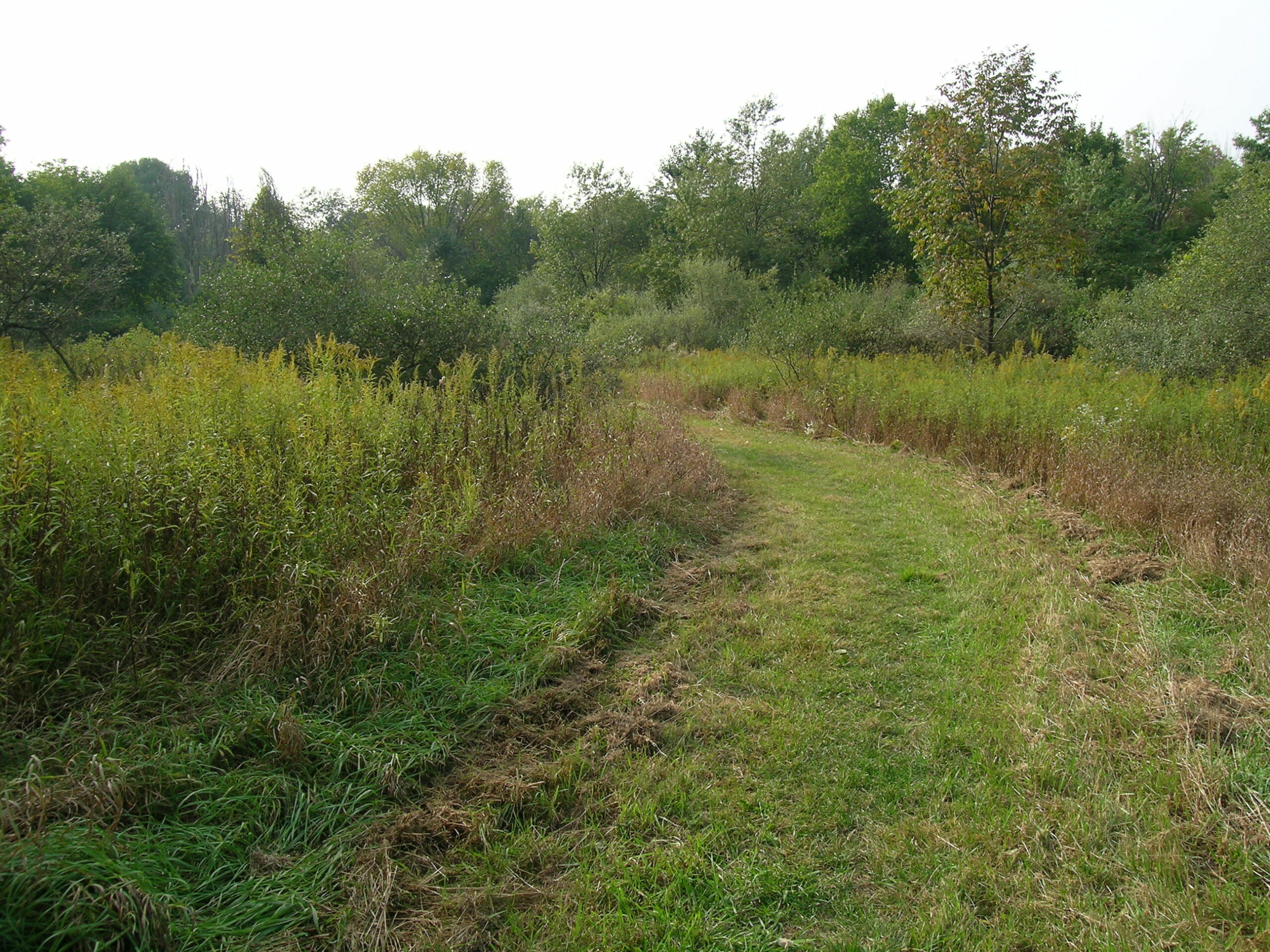
The path leading from points ‘E’ to ‘F’ in the Inwood Hiking Trails
(Click for more…)

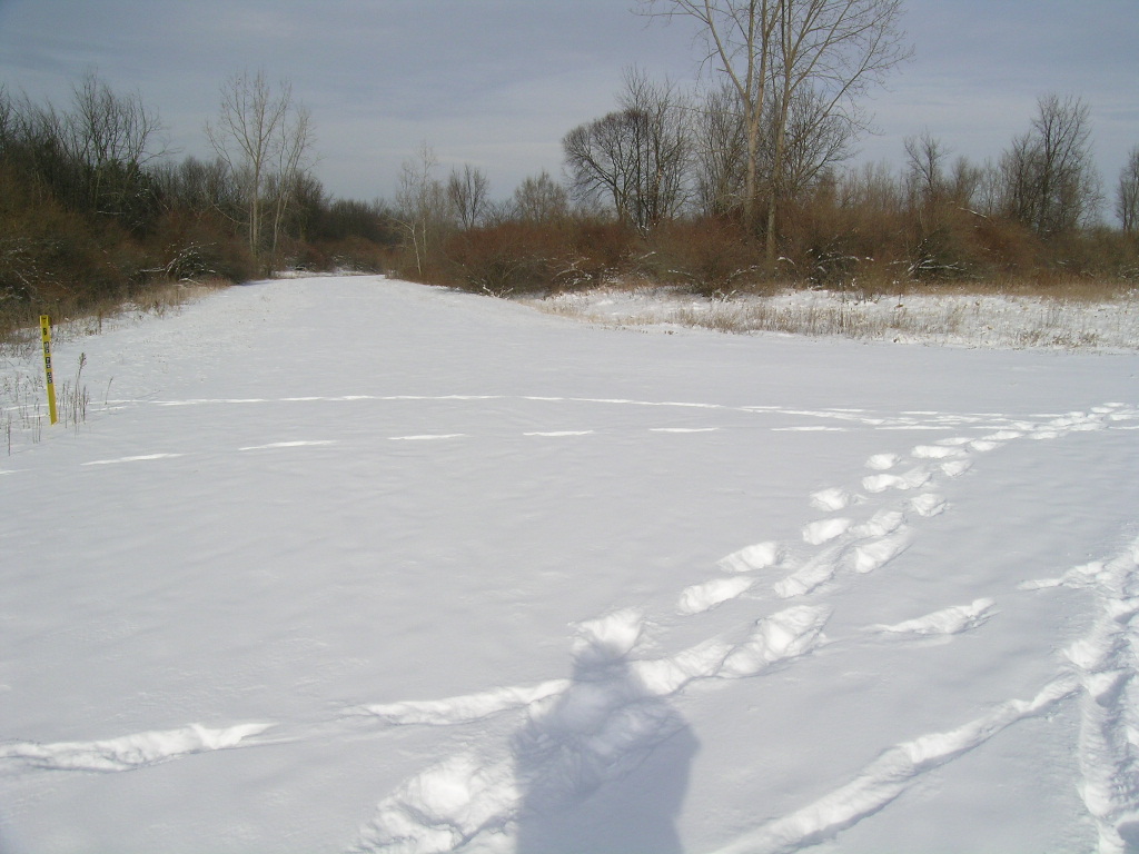
As I tend to do lately, I headed out to the Inwood Hiking Trails yesterday to go wandering around. I haven’t really been hiking in the snow before, but I figured that a not-too-cold day after a nice snowfall would be a good time to wander around one of my favorite local hiking places.

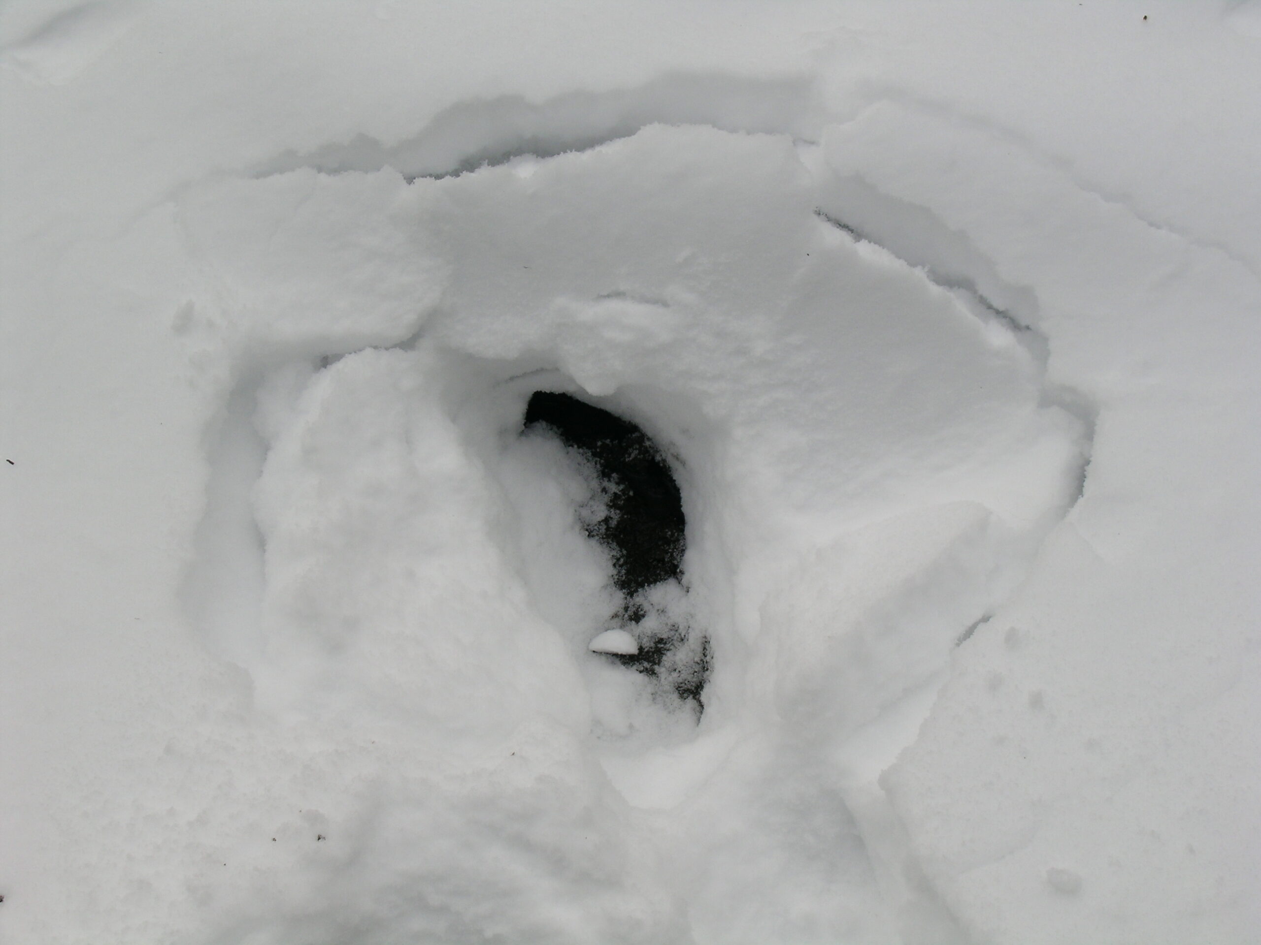
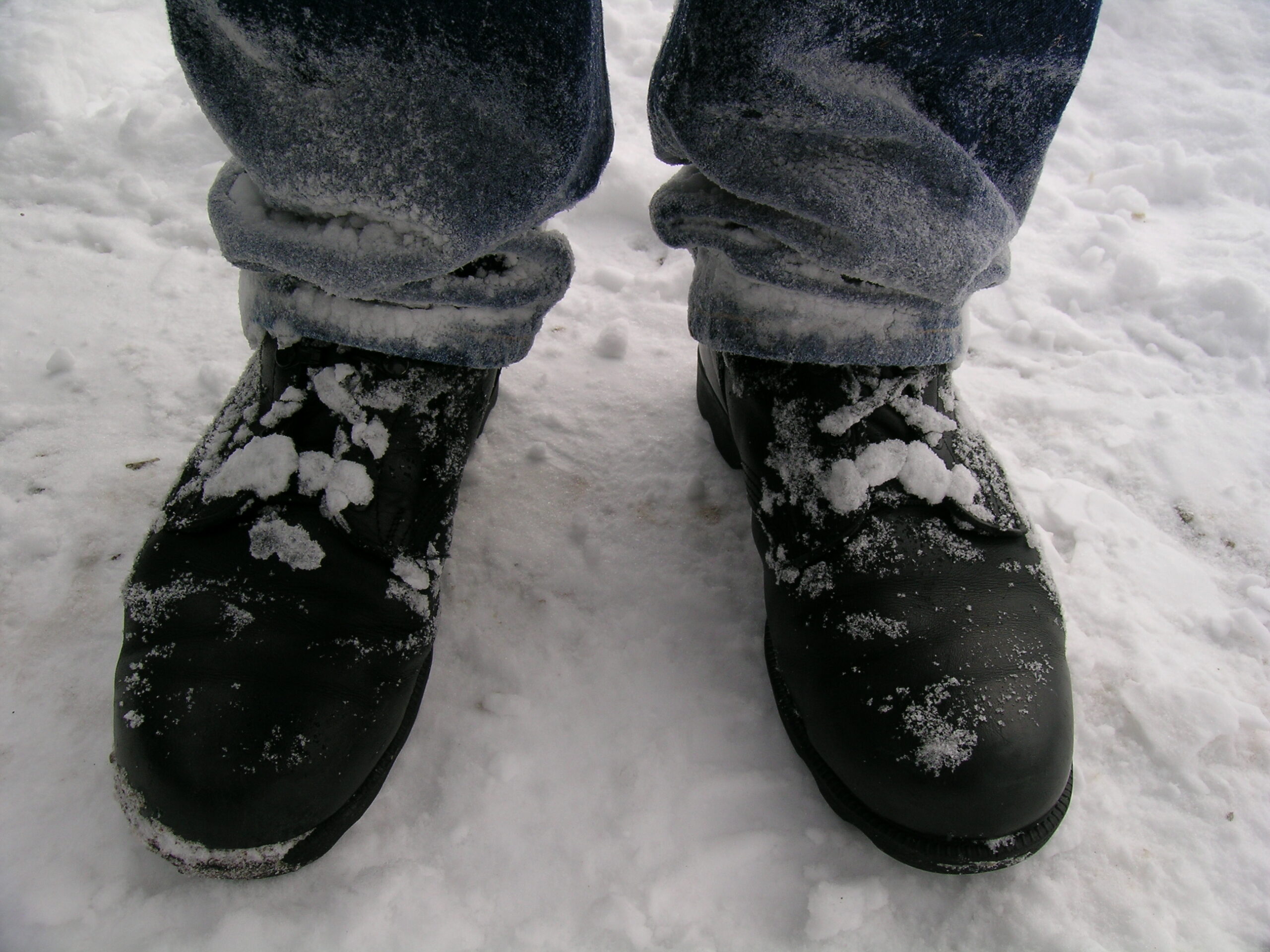
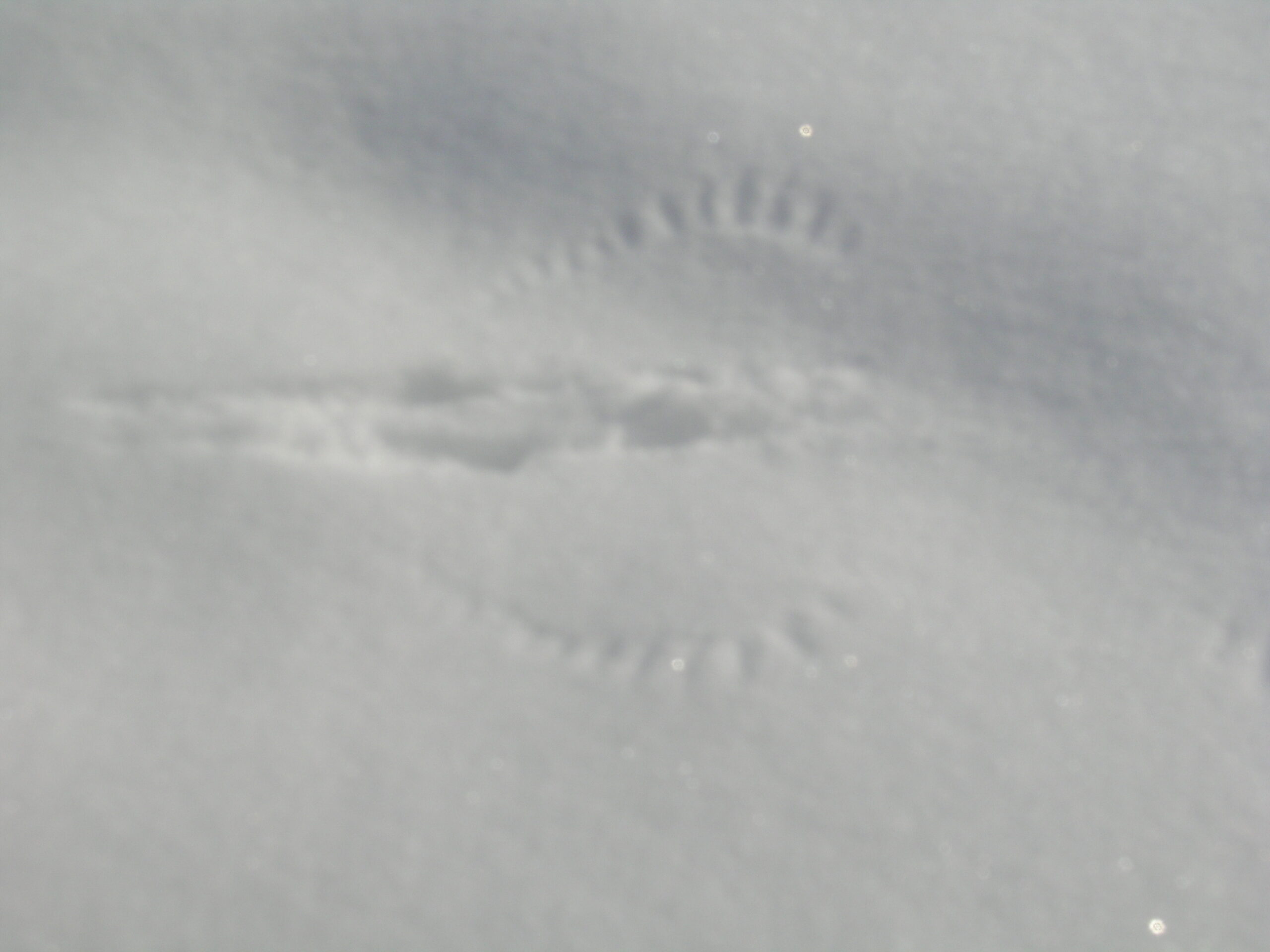
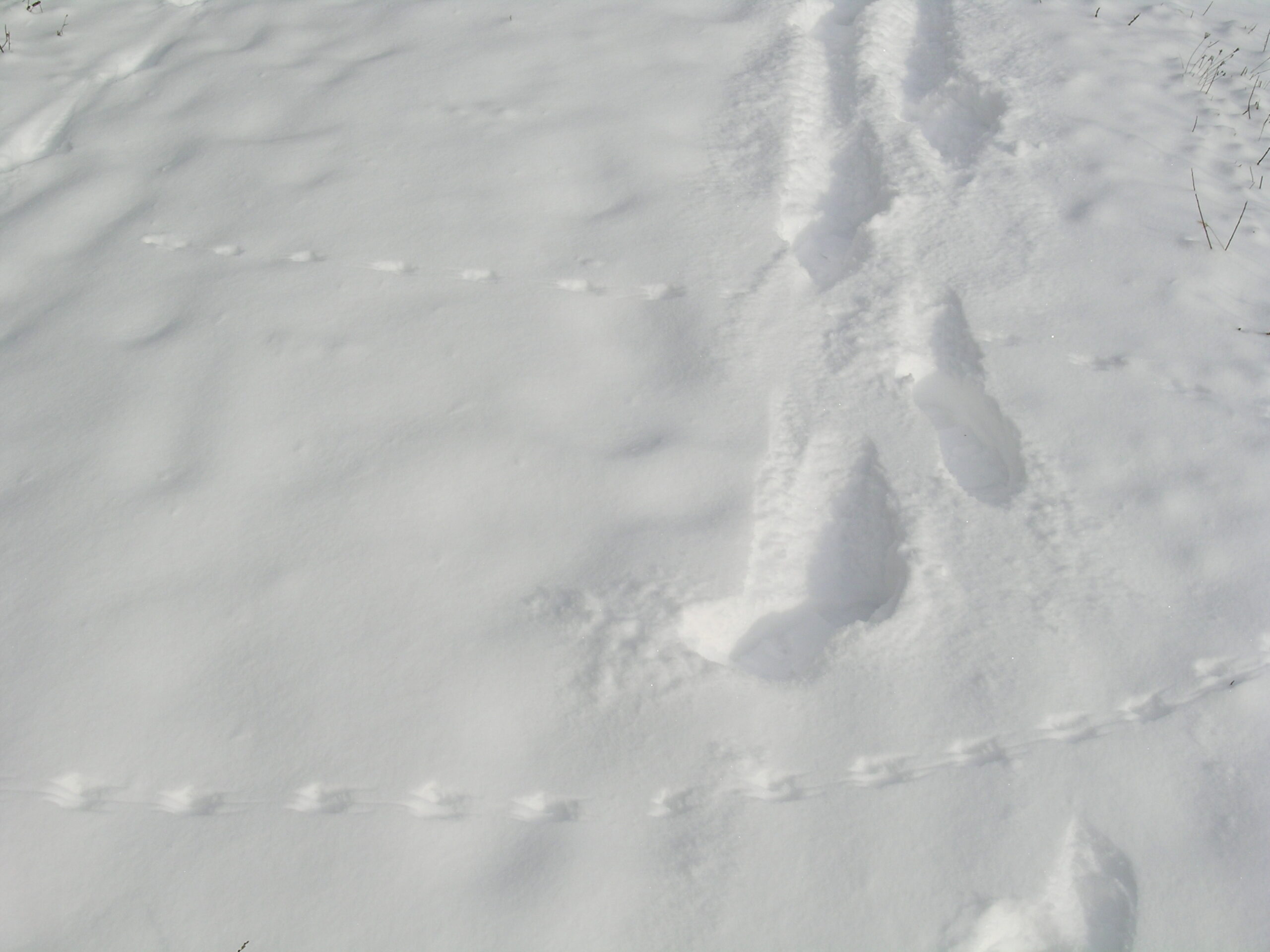
Well, despite almost falling through some ice and ending up with frozen solid pant legs afterwards, it really was a nice walk. It turned out that everyone else who had been there since last week’s big snowfall had turned back after only going a few hundred feet into the park. That meant that all of the trails were covered with nothing more than animal tracks and nice, fresh, powdery snow. At one point I even came across both foot and wing prints from where a bird had landed and what appears to be signs of a small animal being dropped in the snow then running away. Perhaps from a bird or something?

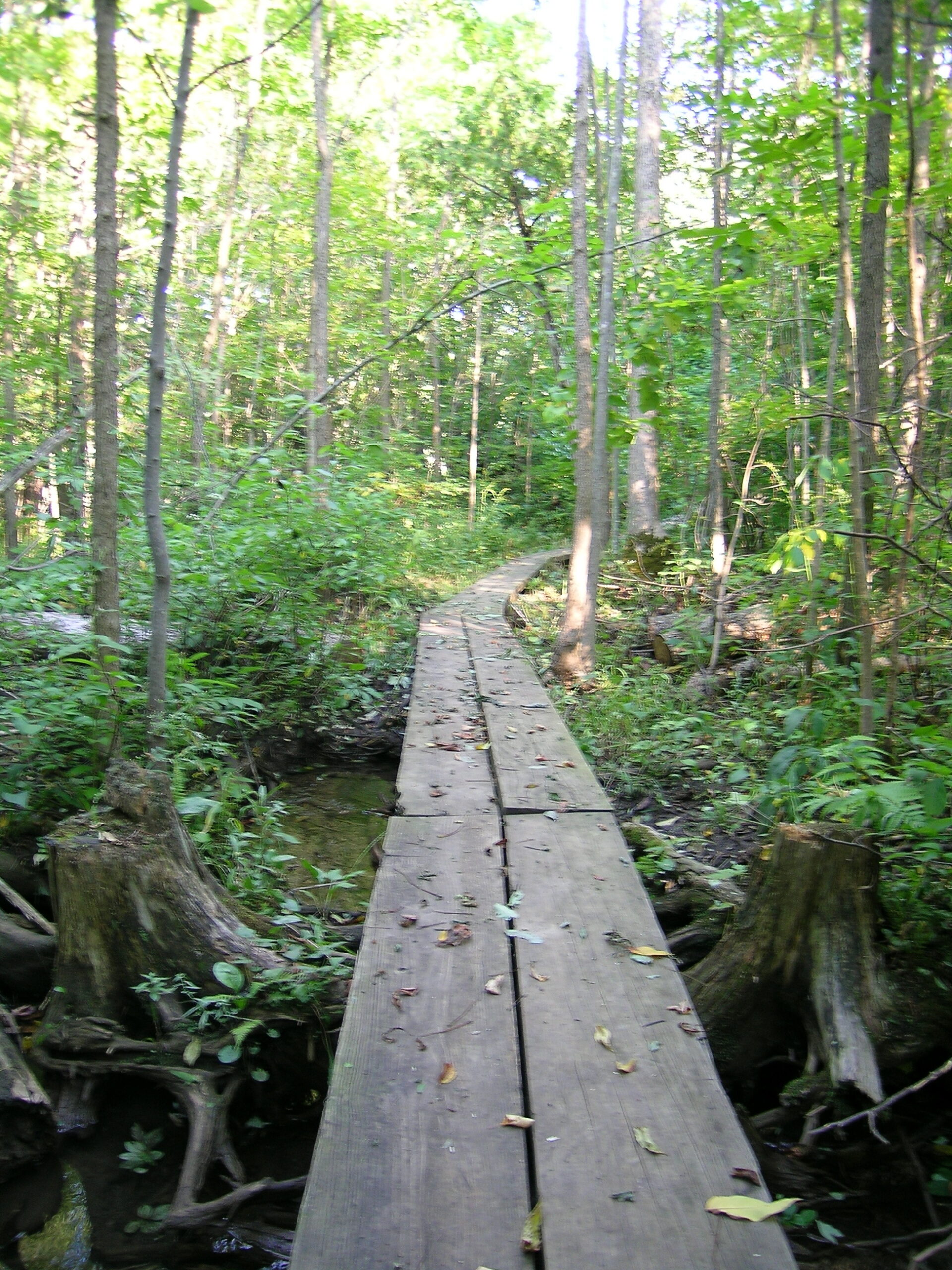
The only part that had me somewhat worried was this pathway which, in the snow, seems innocent enough. However, if one looks at it in the summer time it’s pretty obvious that there is a bunch of marsh and other wet badness which one would not want to accidently fall in. (Although comparing the two pictures, I wonder if they are the same walkway, or similar ones.)

Anyway, it was a really nice time wandering through the woods. The only problem is that my calves, knees, and hips are horribly sore. I’ve realized that walking through 4″ – 6″ snow for a few hours, including up and down a number of relatively steep hills requires one to walk differently. And that walking differently puts a rather unique load on one’s body.

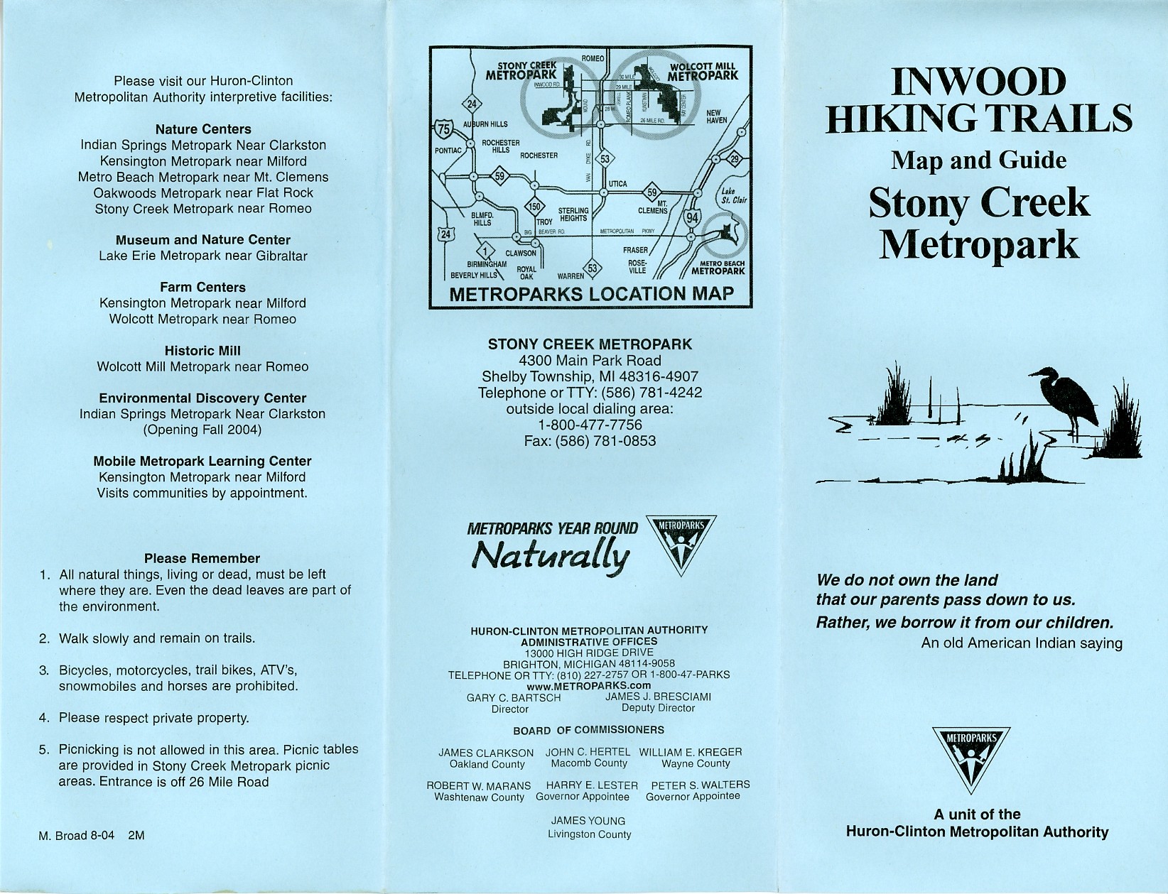
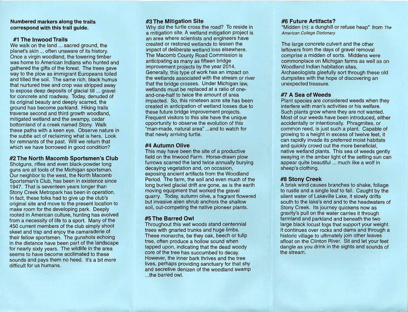
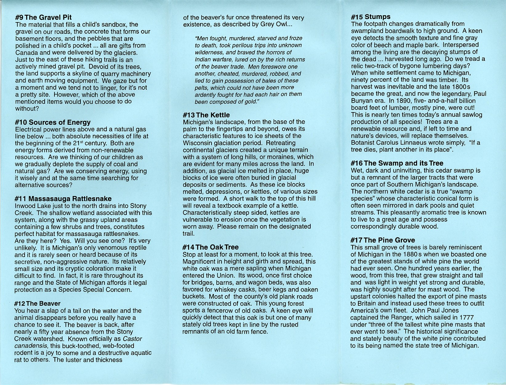
Oh and I also scanned in all four ‘pages’ of the flyer which is distributed near the entrance to the Inwood Hiking Trails: 1 · 2 · 3 · 4

Based on the map of Inwood Hiking Trails I walked about 3.4 miles in the snow. Figuring in little bits of back tracking, wandering a short ways down other trails and other meandering, I’d figure I probably did a total of 3.5 miles, by the end of which I was far more tired than if I had done seven miles on dry ground. Wow.

moved from livejournaloutdoorsweather

Sunday Driving


Click for more…

Up until a few minutes ago I had great plans to make some sort of shiny template for my photo-centric posts. Well, likely due to the carbohydrates currently making me feel sluggish, I’m just not up for that. So I’ll offer a quick summary of my day yesterday, and this (photo gallery retired) link to a bunch of photos taken then.

I had initially left my house hoping to visit Bloomer Park in Rochester Hills and wander along the Clinton River to the former crossing of the Huron Clinton Canal, but with the $6 entrance fee, I decided to skip it. I drove Bloomer road west, eventually ending up in downtown Rochester, at which point I decided to head north. I wasn’t sure of where I was going, but I figured I’d end up someplace interesting.

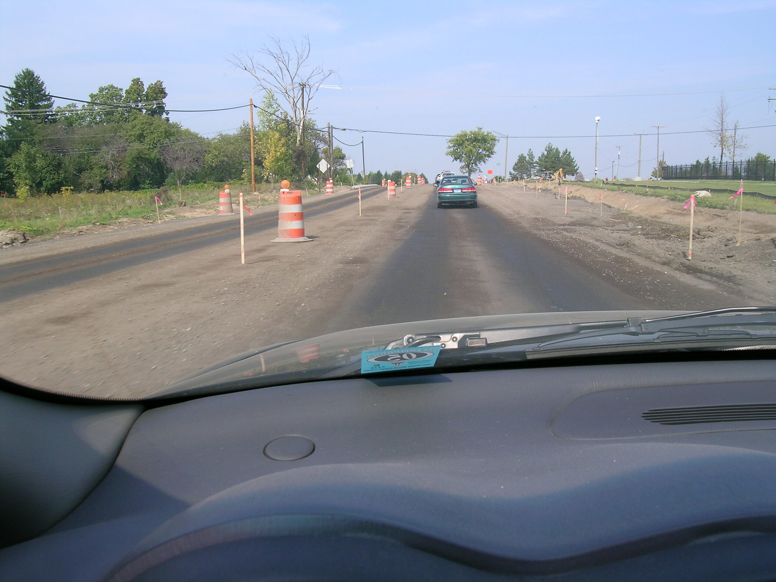
And… I did. While driving north on Rochester Road, after passing through some quite drastic construction I came across a fireman standing in the middle of the road, stopping traffic. As I passed I realized that it was because the Oakland Township fire department was having their yearly open house. I turned around, parked, and went to take a look at what all was being offered. Well, there was quite a bit to see, including a demonstration of various hydraulic tools being used to cut, pry, or otherwise disassemble vehicles in which people have been trapped.

After that I headed over to downtown Lake Orion (don’t ask me how I got there) and found that there is a dam beneath M-24. Then I headed north on M-24, and somehow a while later I found myself at Big Fish Lake in the Ortonville State Recreation Area. I wandered around there taking pictures, then I headed over to Round Lake where I did some more wandering alone in the woods.

Oh, I forgot to mention this, but it seems that yesterday was the start of bow hunting season for deer. Whoops… Probably not the best time to be wandering along in the woods. Ah well, I’m still alive.

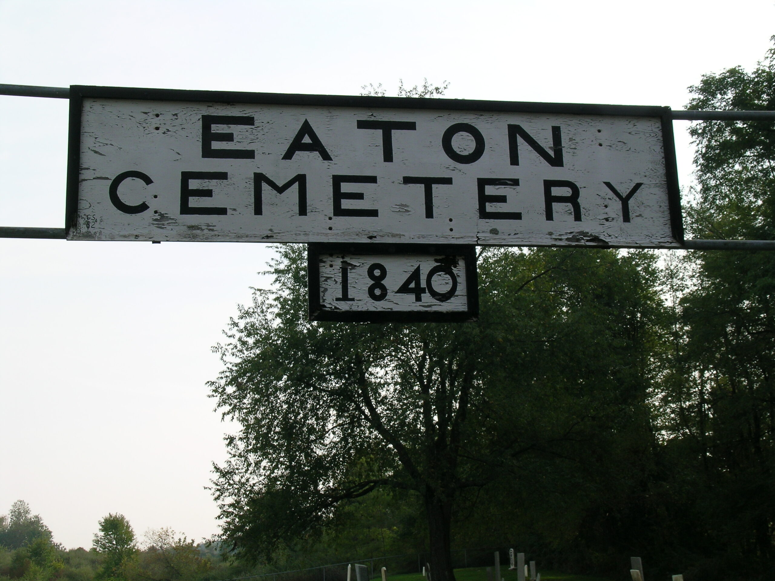
After visiting Round Lake, I headed west and came across the Ortonville Bridle / Snowmobile Trails, where I did a bit of wandering on what were clearly marked as horse trails before getting back in the car. Then I headed a bit further west (I think) and stumbled across Eaton Cemetery where I poked around for a bit and took photos of almost every headstone there.

After Eaton Cemetery I headed a bit south, eventually happening upon Bloomer #3, where I did a bit more wandering before I suddenly had pangs of nearly-passing-out-ness from low blood sugar. At that point I turned my car and headed towards home.

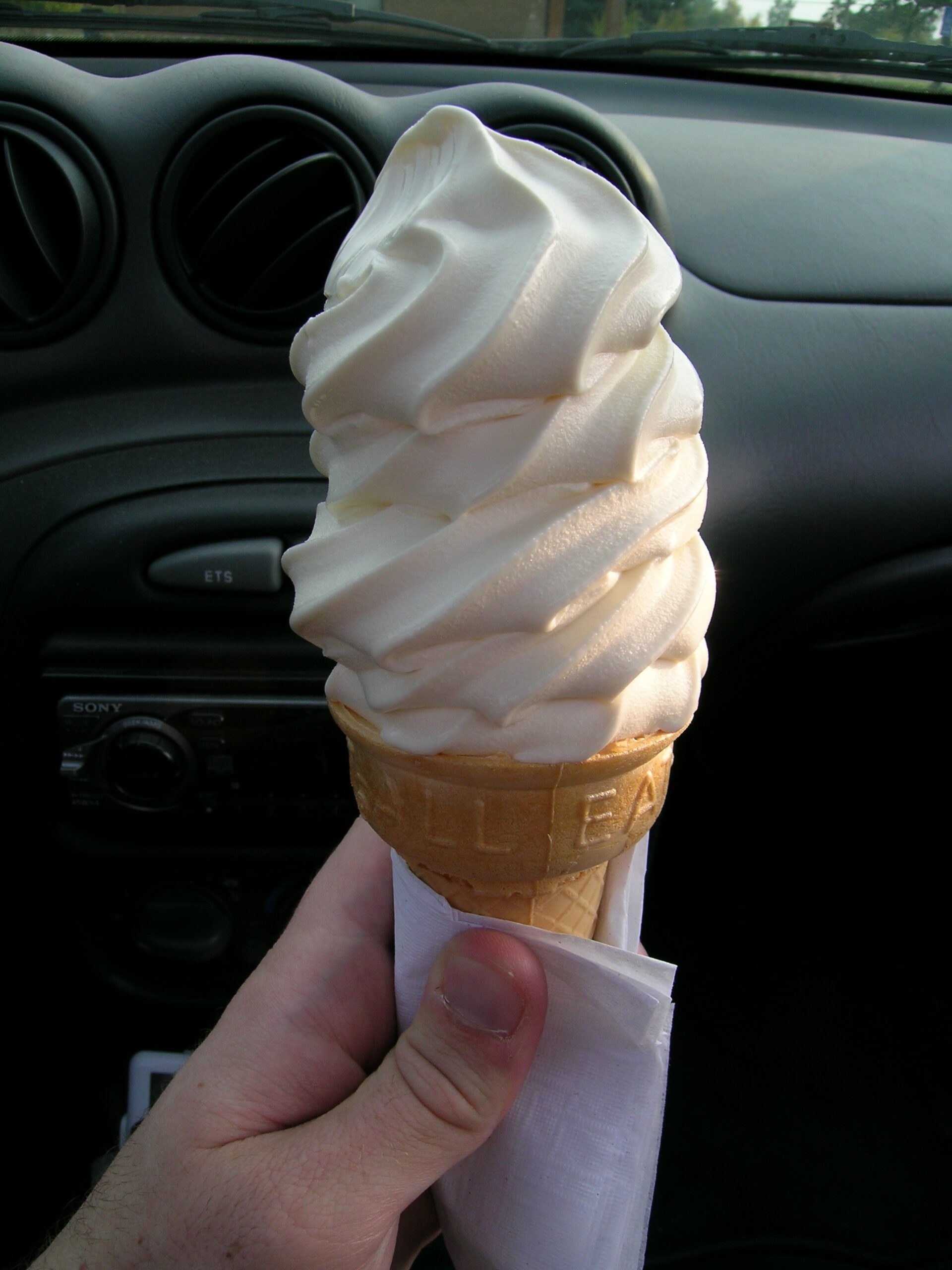
Ending up in downtown Ortonville (I think) I stopped off at a place called Frosty Boy and picked up (after a lengthy wait) a medium vanilla ice cream cone in order to tide me over. Needless to say, it was quickly eaten. Feeling a bit re energized, noticing signs for Indian Springs Metropark, and having a Metroparks pass on my car, I decided to pay this new (to me) metropark a visit.

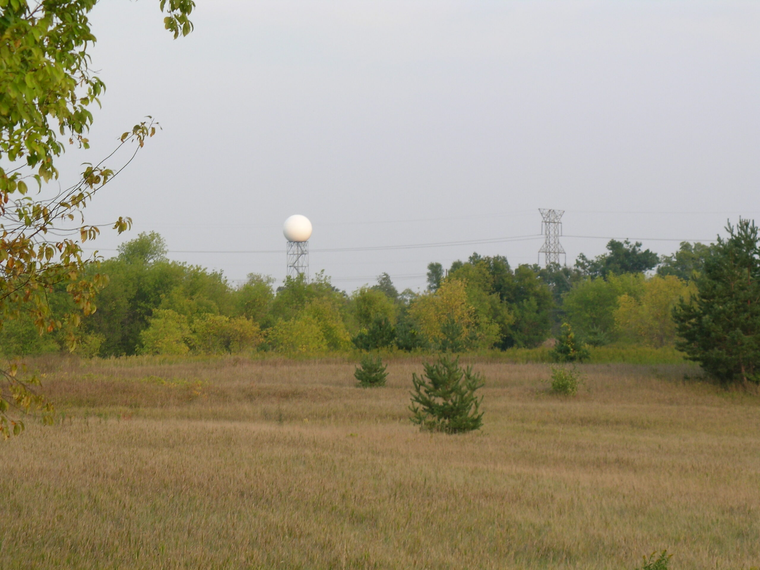
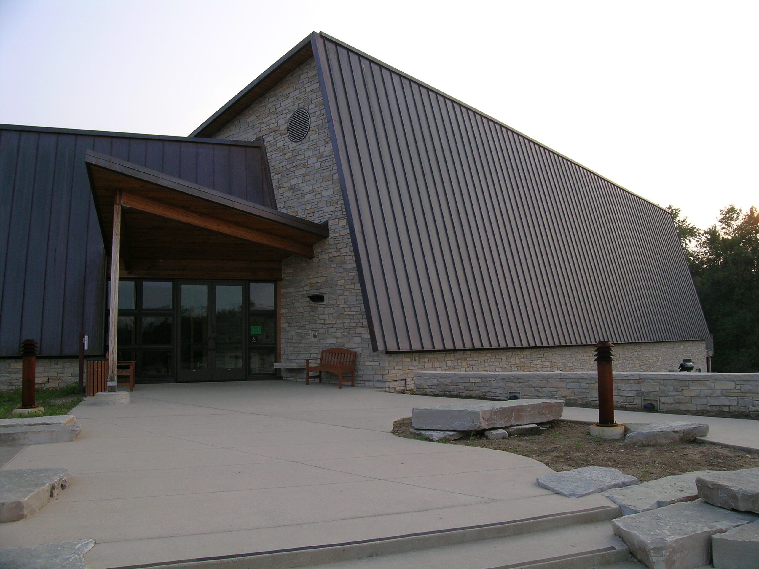
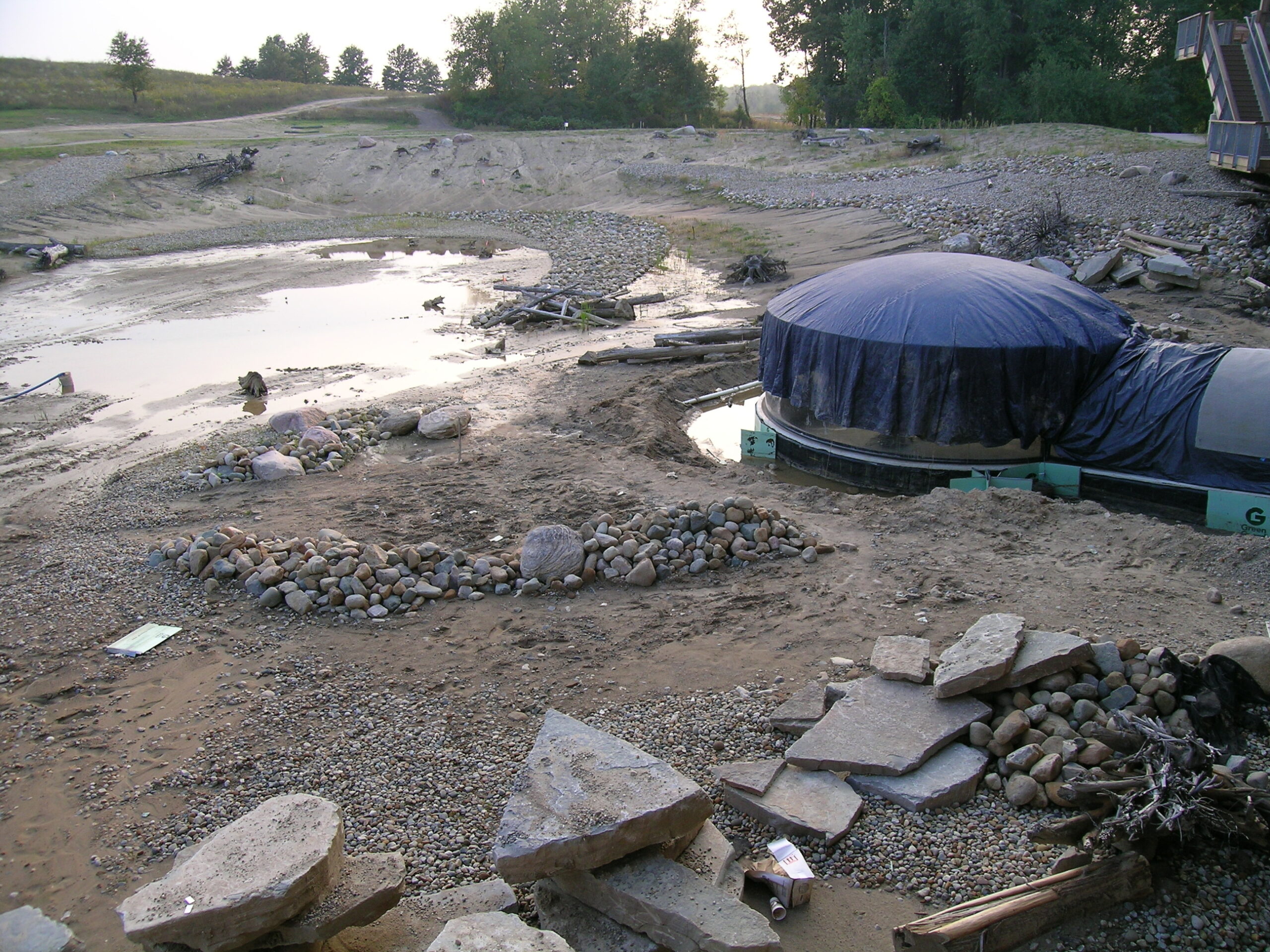
It turns out that this park is located almost right next to NOAA DTX (Detroit / Pontiac) location. This was pretty made pretty obvious by the looming white radar dome in the distance. Oh, and this park seems really promising as well. There is a new Environmental Discovery Center being built there which will even have what appears to be an acrylic dome stretching off the back of the building into a pond of sorts. This could be really cool.

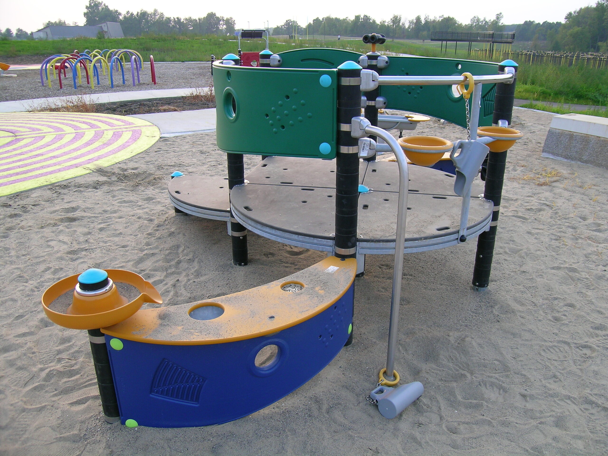
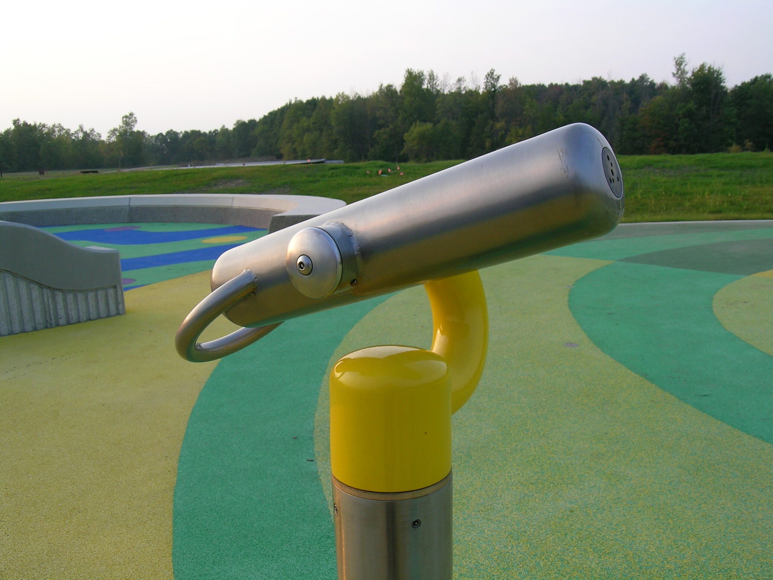
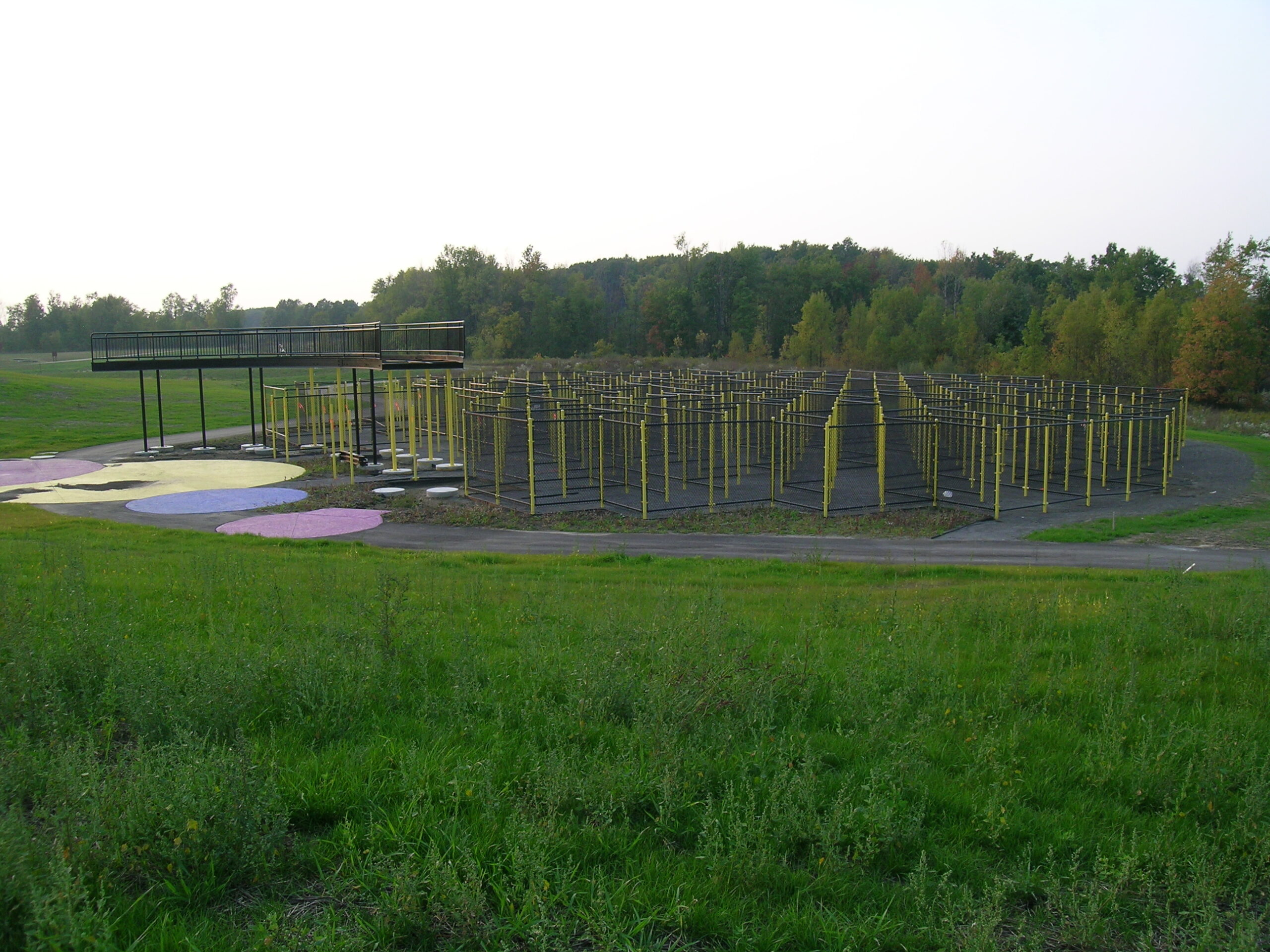
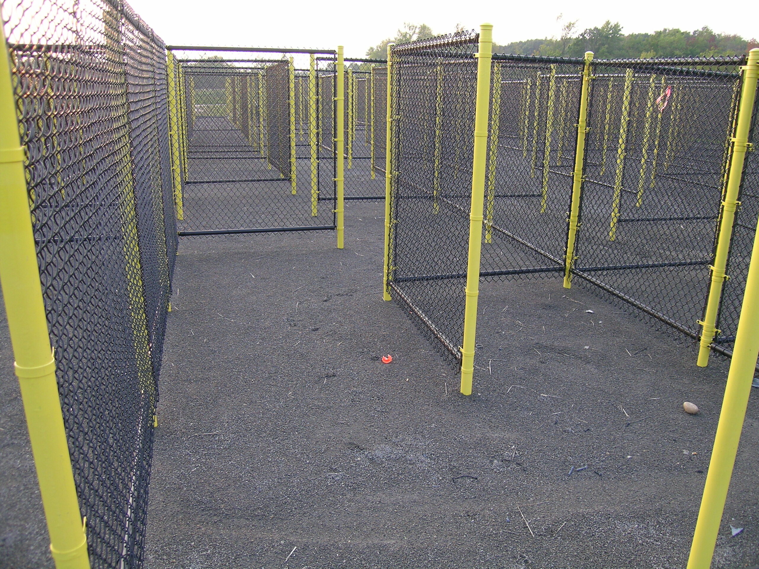
Beyond the Environmental Discovery Center, there is also some rather interesting playground and waterpark equipment, including what, from a distance, looks to be a prison camp. Yes, it is a large maze constructed of cyclone fence, complete with observation platform. It’s a bit foreboding, a bit frightening, and also extremely cool. I can’t wait to see it once it’s done.

After poking around Indian Springs, the waning sunlight told me it was time to head home, so off I went to the Rochester Hills Meijer in order to get some Lazychili ingredients. It’s good, but I think I made it a wee bit too spicy… Ah well, I may just have to make up a pot of rice and eat the chili over rice. < shrug > At least it’s good.

Beyond coming home, making the chili, emailing a (likely overly lenghty) reply to , uploading photos, watching an episode of Queer Eye for the Straight Guy, and enjoying both a Bell’s Two-Hearted Ale and a Speakeasy Prohibition Ale, that’s all I did with my night. Quite a busy, relaxing, fun, fulfilling day. :)

(Hrm, those looked like much longer, better paragraphs with all the markup in there. Ah well.)

automotivemoved from livejournaloutdoors

Oakland Township FD Open House

Okay, so I was going to hold off until tomorrow (well, later today, I guess) to post any of these, but there is something I really like about this photo. I’m not so sure if I’m happy with the cropping, but I do think that it may be the most wholesome, wholly American (whatever that means) photo that I’ve taken in some time. And for some reason I feel a bit proud of this shot. It’s actually a candid that came out well and such. I wish I could somehow get this photo to the kid’s parents. Maybe I’ll just somehow get a print or digital of it to the fire station.

Oh, this was taken when I stopped by the Oakland Township Fire Department’s open house. I was heading north on Rochester Road and came across this and figured that I’d stop and see what was going on there. In the picture above the fireman is showing the kid how to use a wee fire hose in order to push a ball across a field and between some traffic cones.

There will be other pictures — including those of a Geo Prizm (yes, quite similar to the one I had way back when) being cut up — a bit later. Probably tomorrow, although I’m also wanting to write basic HTML template for all multi-image posts to LJ, which will take some more time.

With regards to the new template, I’m thinking maybe one large image with text below it (similar to what I currently do) but with smaller thumbnail images down a column on the right? It’ll give it more flash… It’d be similar to this ad for the iSight Tripod Adapters but… better.

Anyway, now that it’s a good ways past my bed time, I think I should get to sleep. Goodnight.

moved from livejournaloutdoors

Inwood Hiking Trails


Click for more…

In one of my usual fits of wanderlust, I decided to head out to the Inwood Hiking Trails and do some wandering. So I swung by the Jimmy John’s at 23 Mile and Schoenherr and grabbed a veggie sub (no mayo, of course), swung by a party store and grabbed a bottle of water, then I headed up to the park. While I haven’t calculated the whole route yet, I’m estimating that I walked somewhere around five miles of slightly hilly trails ranging from gravel to through-the-woods.

There are a bunch more pictures here (photo gallery retired) if anyone is interested in seeing them. Here’s what are, in my opinion, some of the more notable photos:

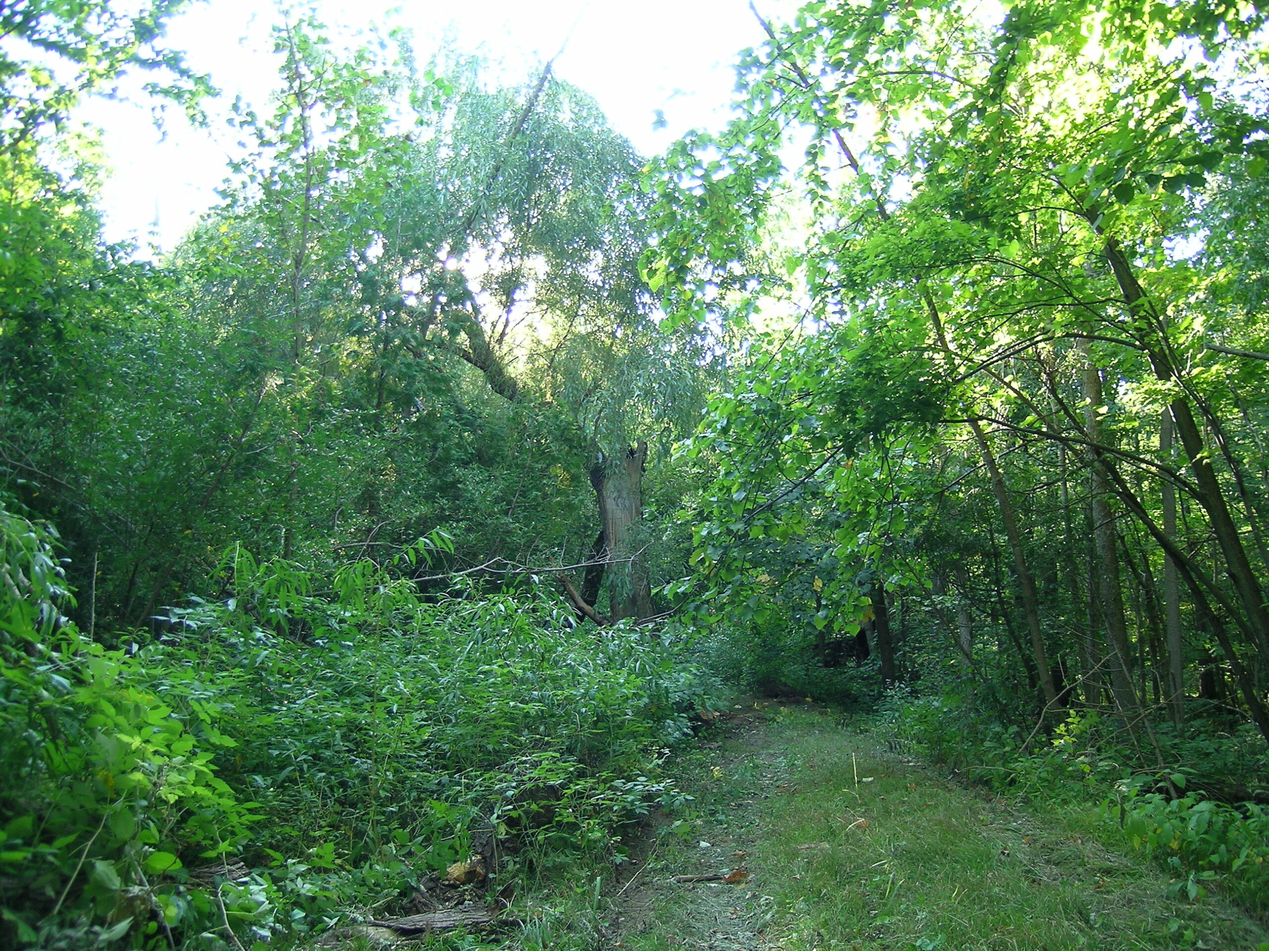
· A typical trail through the more wooded areas of the park.
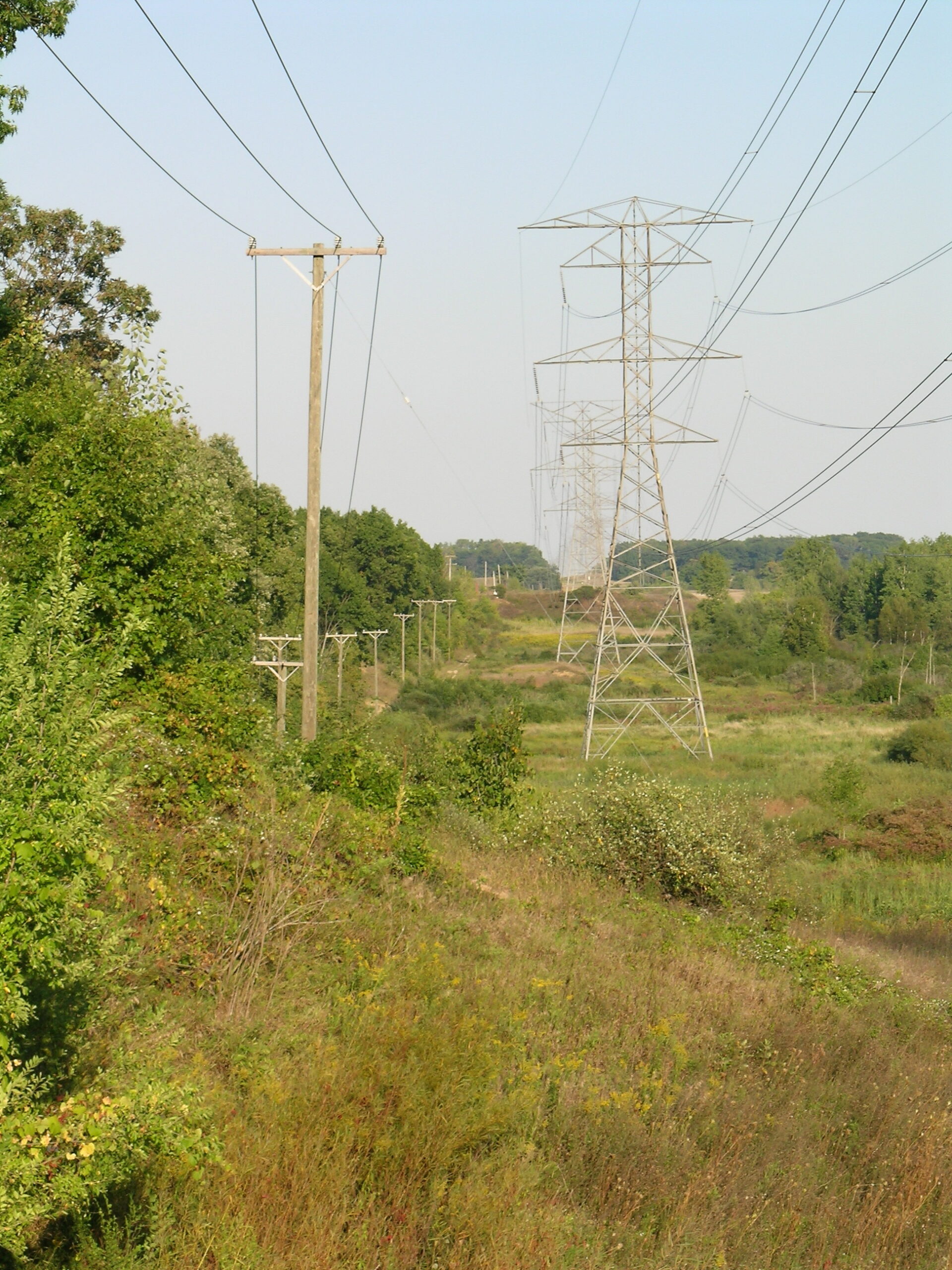
· Quite a bit of the path runs along these power lines.
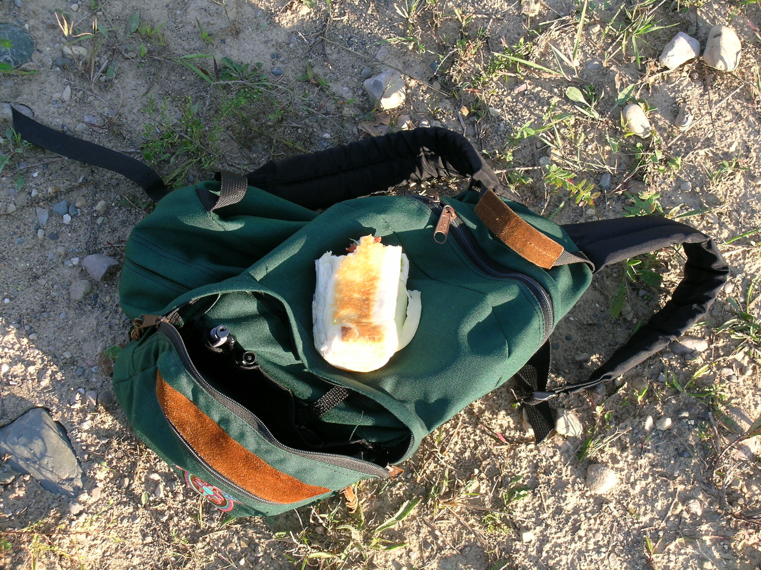
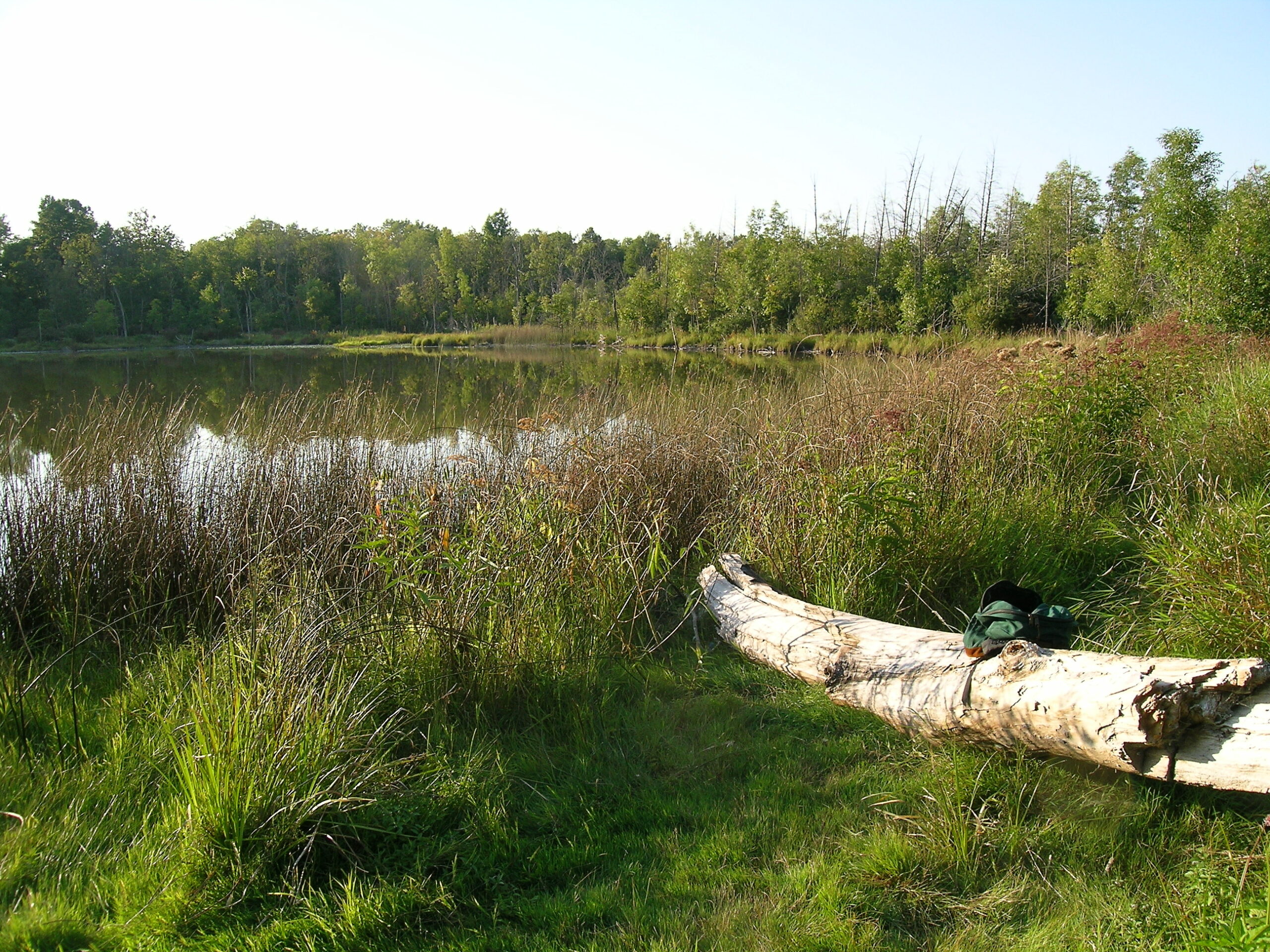
· I’ve had this backpack since high school. It’s traveled most places I’ve gone. And it still makes a good day pack.
· The mosquito-filled Inwood Lake.
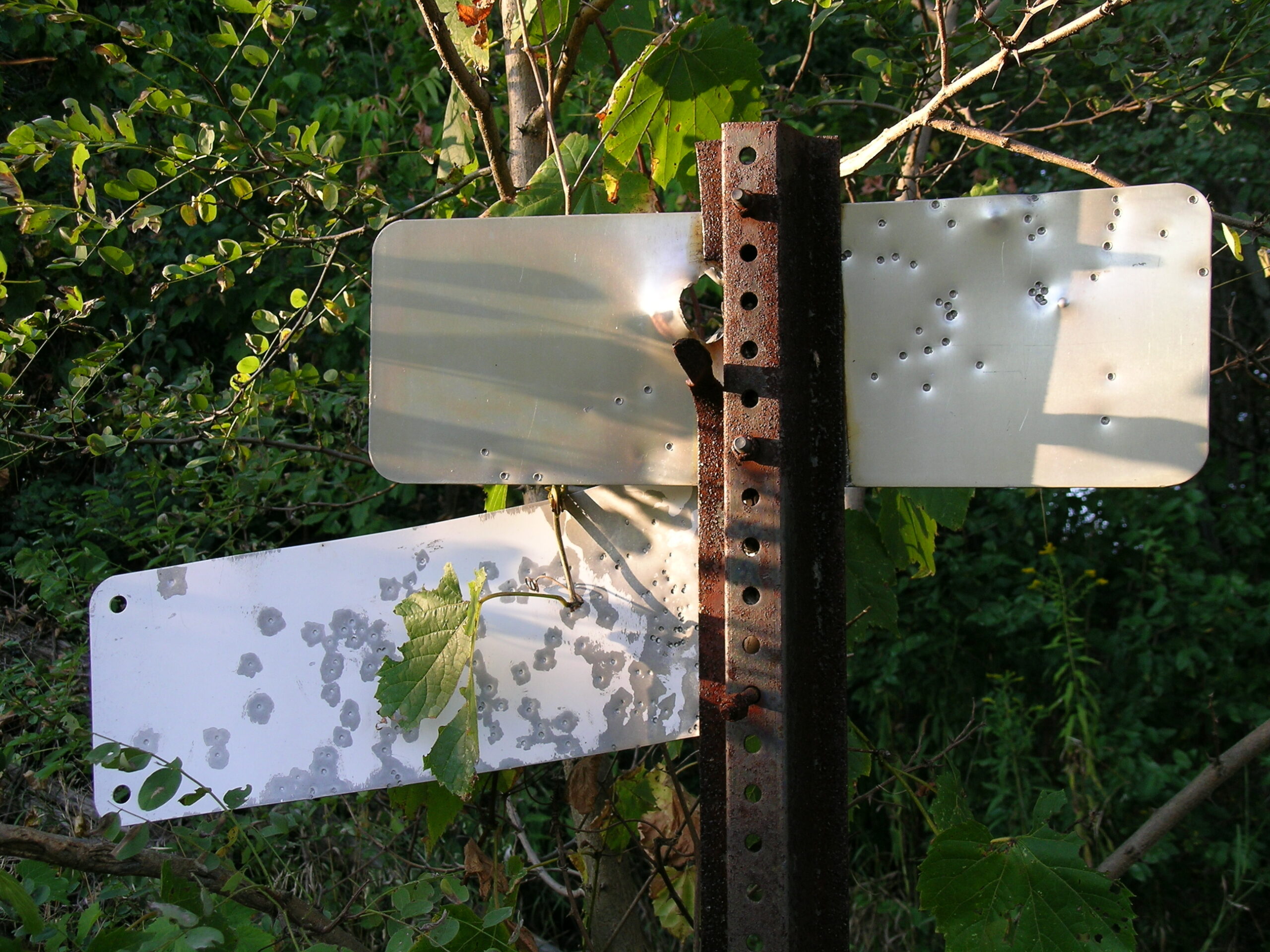
· A sign that has been quite shot up by… someone.
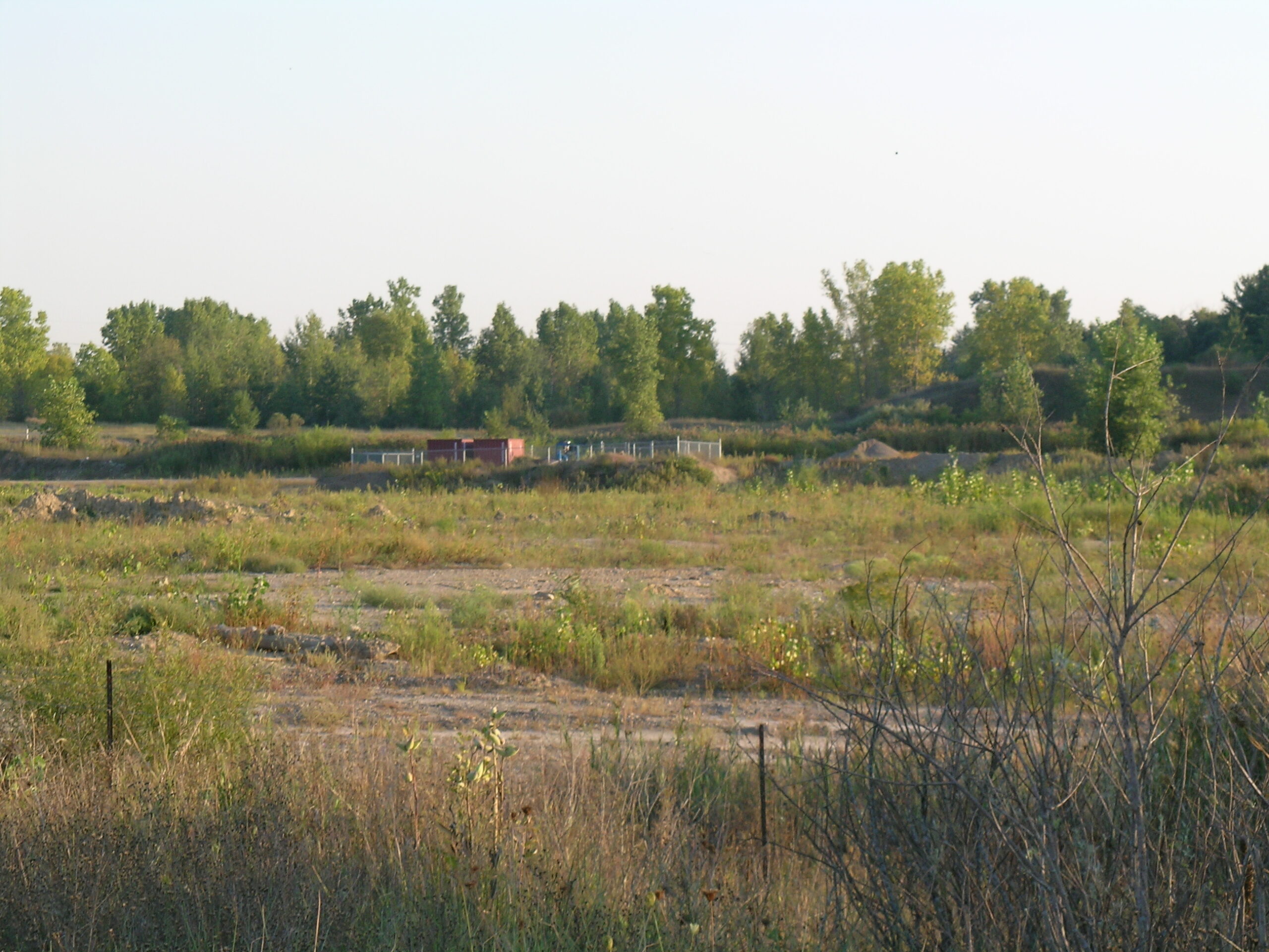
· The source of a low, distant noise throughout the park. It appears to be a generator running a pump of some sort.
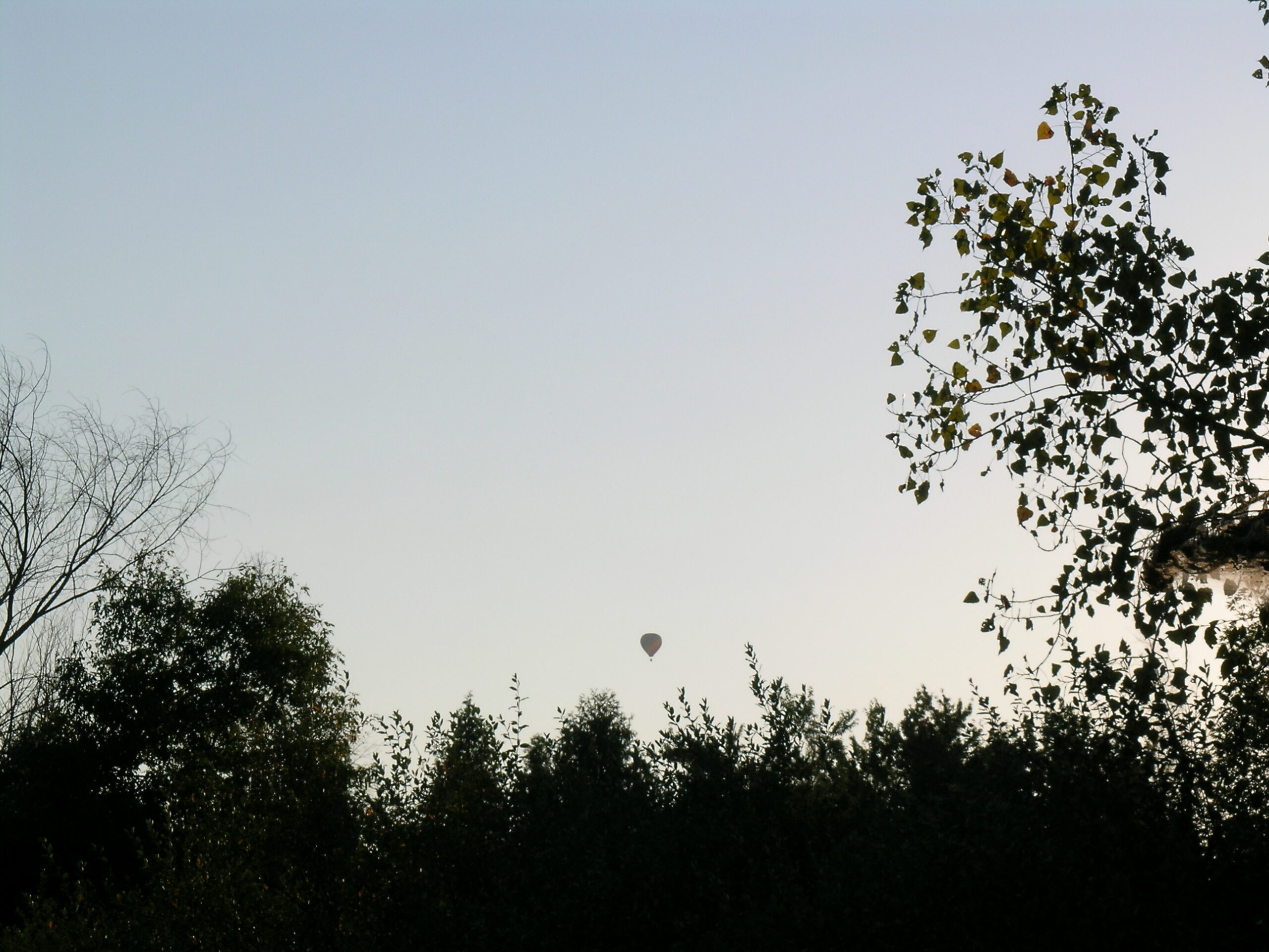
· Towards the end of the day I noticed a hot air balloon floating above.
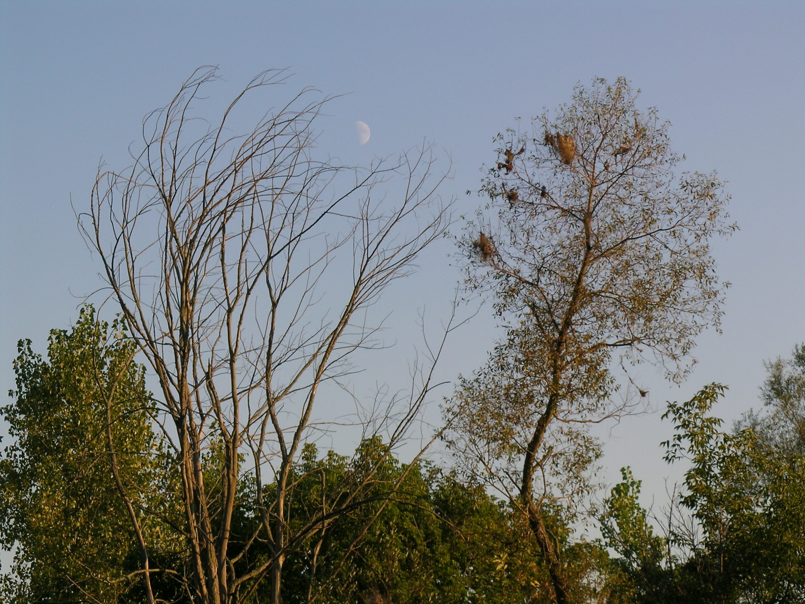
· The moon was alos out and looking quite nice.
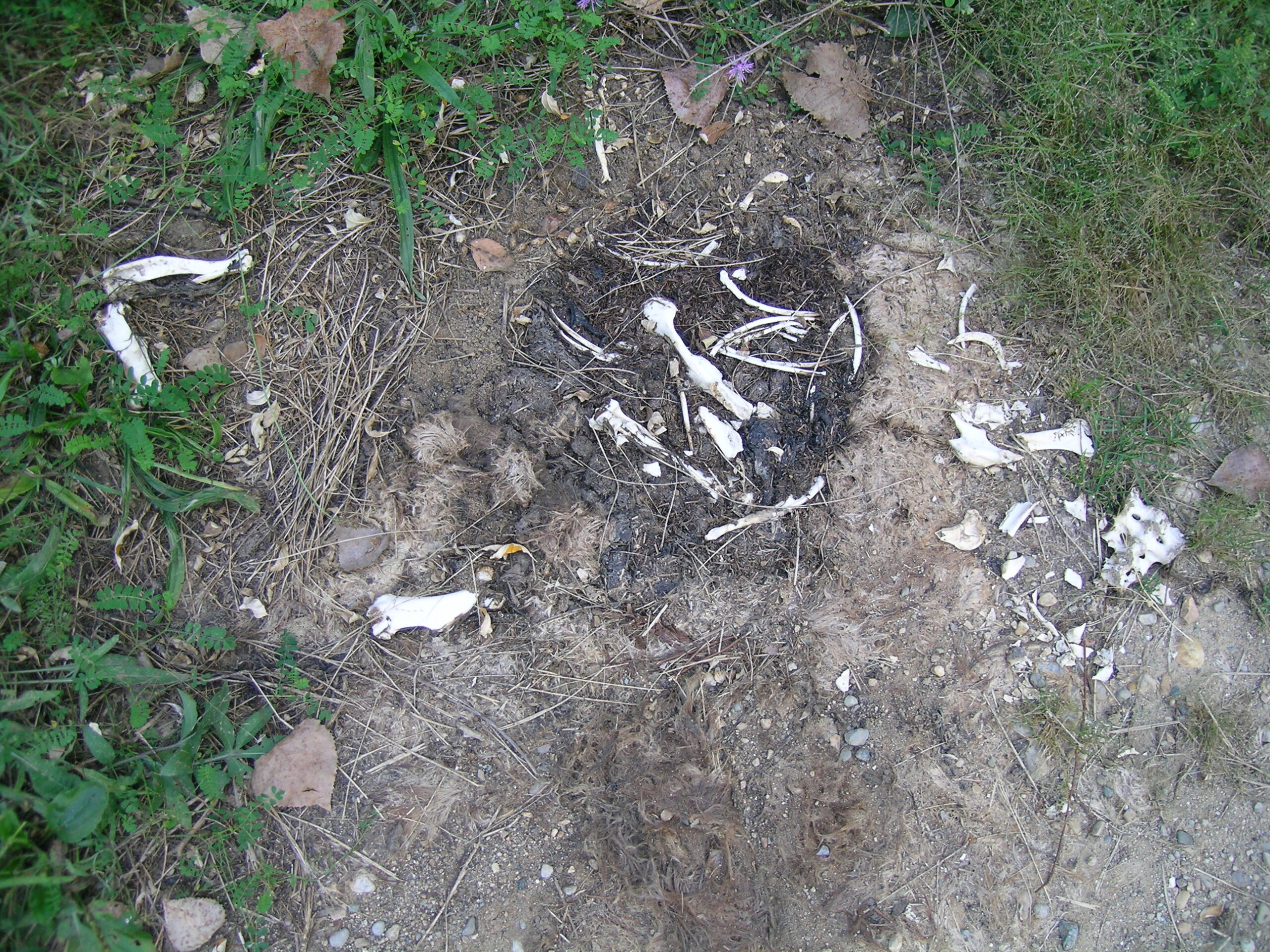
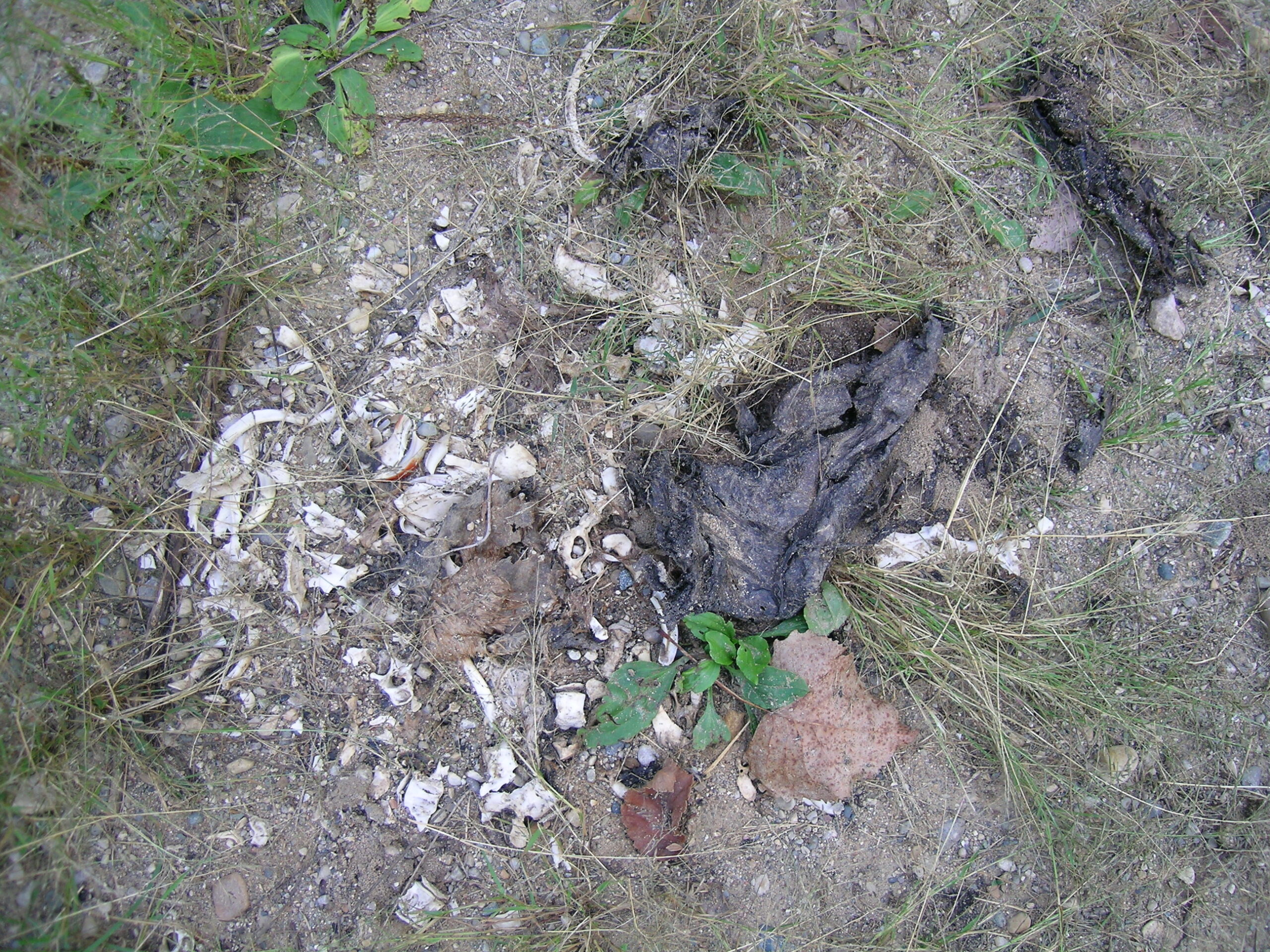
· Along the way I found some piles of bones: 12
·
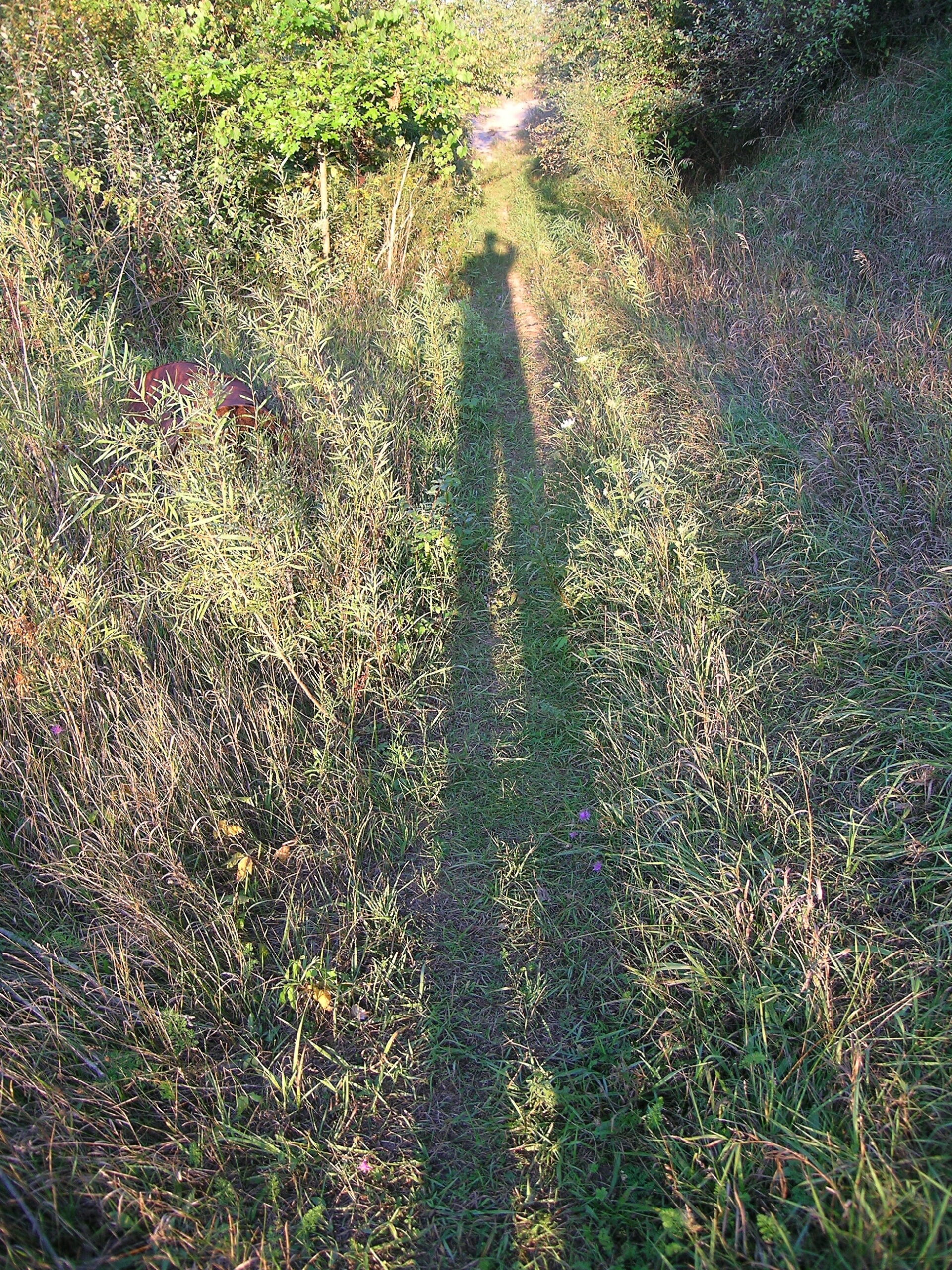
The shadows were getting long, so it was time to leave. My camera battery also ran out right after I took this shot.

Oh, also, my manager doesn’t seem too happy with my taking 2.5 weeks off of work in one go. We’ll see, though… She still hasn’t said no yet. I’m also looking up heading to the UK at this time, as the airfare would be $450 for non-stop DTW->LGW then LGW->DTW via Northwest.

moved from livejournaloutdoorswork

Picture Post…


Click for more…

Oh, so I forgot to mention that on Saturday I headed to Ann Arbor to wander around a cemetary with , , and . This was definitely a good time, and I got quite a few pictures, some better than others. If you want to look through the photos from that wandering, either click this link or the photo above.

I also made a couple of piece of wallpaper for computers:

· Art Fear Graffiti (1280 x 854 for 15″ PowerBooks)
· U of M Law Library Underground Windows (1024 x 768)
· PowerBook Keyboard (1280 x 854 for 15″ PowerBooks, from a test image I took when playing with my camera and dcraw.)
UPDATE: I forgot to mention this, which is the saddest grave I’ve ever seen. Note the small, hand painted stone above the marker. I think Frank or Erika first noticed this…

found thingsmoved from livejournaloutdoors

Petroglyphs and Ann Arbor


Click for huuuge…

As promised earlier, here’s a shot of the petroglyphs. Check out all of the photos here. Or, for the overview, here’s some of the other notable photos from yesterday’s wanderings:

· The modest sign at the entrance to the Petroglyph parking lot.
· The main sign at the entrance to the park.
· A beautifully fern-covered area one has to walk through to get to the petroglyphs.
· The petroglyphs are in a roofed, caged area to stave off rain and help prevent vandalism.
· The dome of rock which holds the petroglyphs.
· Goose, wind arrows…
· Some interesting graffiti.
· A peace pipe.
· The thunder storm which caused the guides and myself to hastily leave the area. It also made driving hard.
· A tasty ice cream cone I purchased from Moore Ice Cream in Marlette, MI.
· Some menacing clouds as I drove along US-23.
· Frank taking a picture from the top of a parking garage in Ann Arbor.
· Another impressively large cloud along US-23.

Oh, I must strongly recommend visiting this site… It’s rather interesting, seems to have a nice trail near it, and is staffed by friendly folks. One of the people there is a student at CCS and the other person lives somewhere near Flint.

So, yeah. Now I’m going to go eat my porridge with blueberries.

moved from livejournaloutdoorstravel

Alignment of Saturn, Mercury, and Venus

So it seems that as seen here Saturn, Venus, and Mercury are aligned tonight.

Well, on the way home from my parents house tonight I grabbed a shot of this alignment. The shot is just a quick RAW snapshot that I quickly converted with dcraw, dumped into photoshop, tweaked the color, the exported to a JPEG.

If you’d like to see this image, take a quick look here: http://www.nuxx.net/images/saturn-venus-mercury_alignment_test.jpg

I’ll probably get a better one uploaded later, but you can clearly see the alignment in this shot.

I would have just posted the image itself, but it doesn’t look good too small, and I want to go watch some Frontline right now, not mess with the image. So, just click the link.

UPDATE: Better version behind the cut, or at this link: http://www.nuxx.net/images/saturn-venus-mercury_conjunction_wide.jpg

Continue reading: Click for a nice version of the aforementioned photo… It's not huge, but I don't want to post a 1024px wide image to people's friends pages.

found thingsmoved from livejournaloutdoors

Clinton River on March 26th, 2006


Click for more…

Last Saturday, March 26th, 2005, was turning out to be a rather nice day weather-wise. Because of this, I figured I should get out and about, so I decided to take a walk through the park. Well, as I’m oddly partial to it, I went and visited Holland Ponds park in Shelby Township again. The difference was that this time I walked all the way through it and all along the Clinton River until I reached Yates Cider Mill, and the park which is across Dequinder from there.

During this walk I noticed a few things… First, that the barrels I had found before were actually empty and somewhat crushed (1 · 2). This wasn’t too readily visible before, but now that a lot of the snow has melted and I could get close to them. This is good to know… At least they aren’t directly leaking chemicals into the river.

Second, was that it really isn’t very far from Holland Ponds to Yates. Once you’ve made it to the river, it doesn’t seem like very long at all before you are suddenly seeing the big red barn. It’s also interesting to follow the path of the train tracks where they used to run through G&H Landfill and along the river, eventually crossing it right near Dequinder.

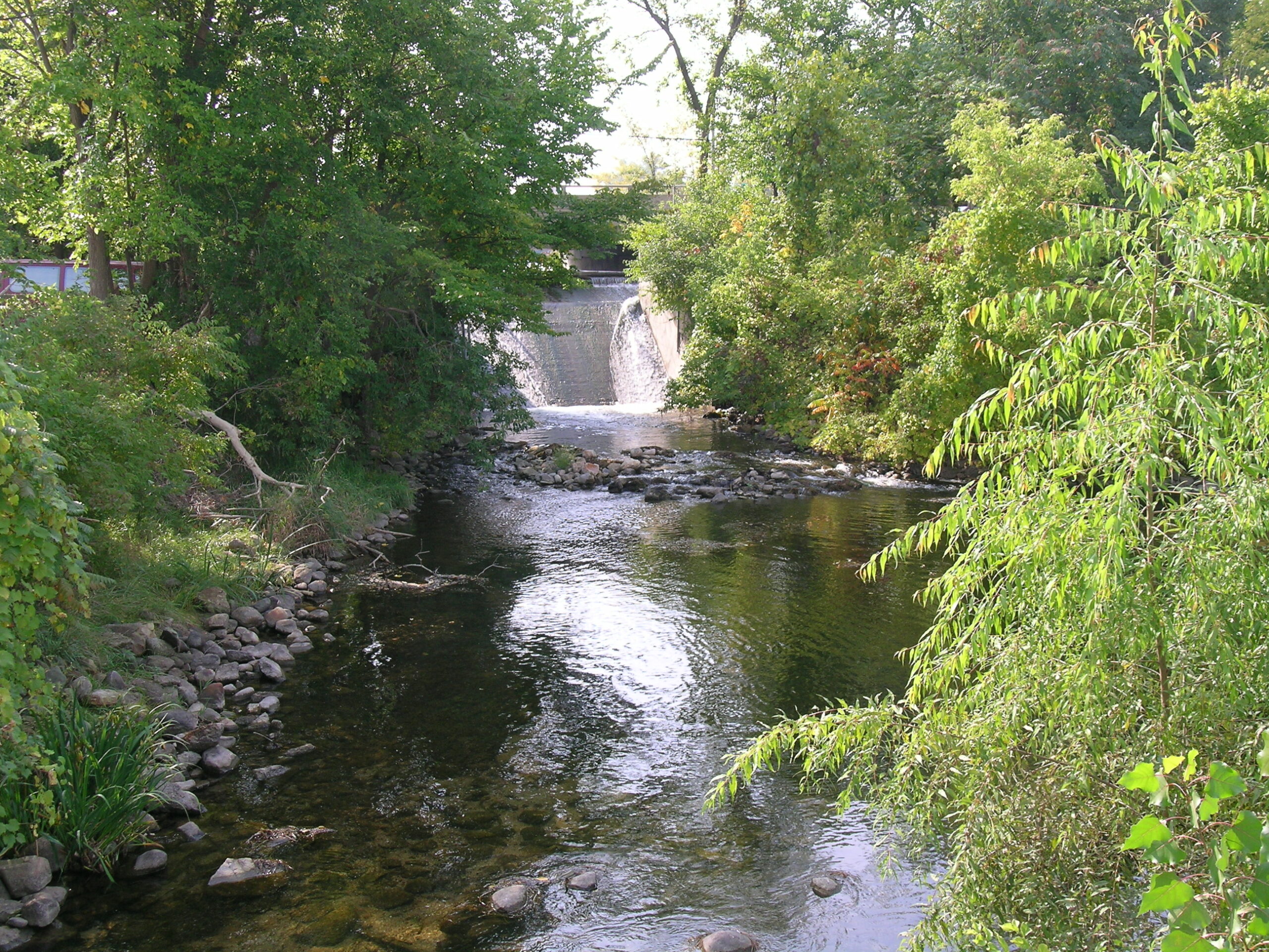
For some reason I’d never bothered to stop and take a look at the dam at Dequinder and Ryan. I managed to get a few pictues of it and the mostly decayed train bridge.

There also seemed to be quite a few people out fishing that day.

On the way back to the car, I noticed an interesting turbine-looking device on Yates property, right near the start of the trail. Printed right on top of it was some information about exactly how old it is… The markings indicate that it is a “Improved New American Turbine” made by “The Dayton Globe Iron Works Co Dayton O USA”. So, it’s likely that it’s back from the days when Ohio was the only state who’s name began with an O. Wow. I’m impressed… I snapped a few more pictures of it, before I noticed that someone had come up and was photographing Yates’ barn with a viewfinder camera. I’m not used to seeing such things so randomly, so I was fairly impressed.

Also, I was able to get a few shots of the mill’s apple loading system which appears to use narrow-gauge rail and gravity to shuttle carts of apples down into the bottom of the mill, right next to where the water is discharged from.

One other interesting thing I noticed was that Yates’ water discharge goes right into what appears to be the remnants of The Clinton-Kalamazoo Canal. At least now I’m sure of it’s final end point. I think…

On the trail back, I managed to find one other thing that impressed me. Laying face down in the path was a piece of iron about the size of a paperback book. When I turned it over, I saw this, markings which read “B.S Co-LAK 169-A-1923”. If I’m not mistaken, this is most likely iron that was part of the old rail line which ran through the area.

All in all, it was a pretty nice day out, and I was glad to be able to get some more pictures of fairly interesting things. Hopefully one of the next places I explore will be the train track / tunnel which runs beneath Shelby Road at 22 Mile. I think it leads into the Visteon plant there, but I want to see for certain.

moved from livejournaloutdoors