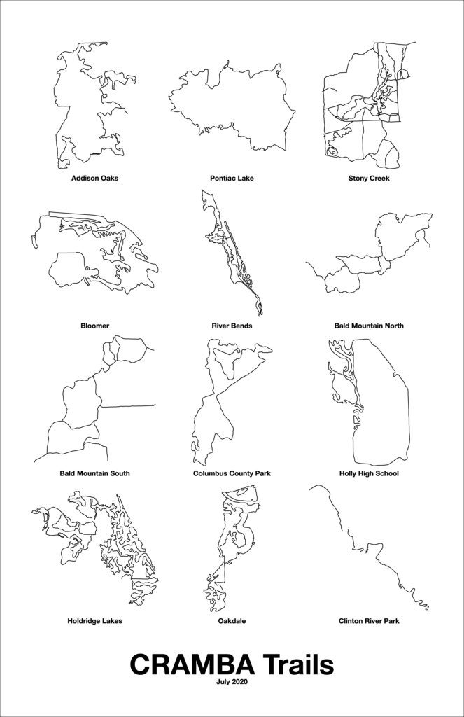
Finding myself a little bored, I put together a poster (11″ x 17″) showing outlines of the CRAMBA-supported trails on one overview. (Link)
This ended up being more popular than I expected, with a handful of people wanting to know how I did it, so I’ll detail the steps here:
- Ensure that all the trail routes are in OpenStreetMap.
- Using JOSM load each trail area one at a time and make an OSM XML file with just the data you want outlined:
- Select the ways which comprise the trail you want shown.
- Create a new data layer (Command-N).
- Make the original data layer active.
- Copy the selected data from the first layer to your new layer with Edit → Merge Selection (Shift-Command-M).
- Hide the original data layer.
- Review the new layer to be sure it has everything you want.
- Select all nodes and ways (Command-A) and remove all tags to make later processing easier.
- Look good? Is everything you want in the new layer? Save it to a
.osmfile and do the next trail.
- Once you have an OSM file for each trail, convert them to Adobe Illustrator format using this version of osm2ai.pl.
- Get
osm2ai.plworking on your computer. I run this on macOS, and it works fine on Linux as well. Since it’s a Perl script there are probably some dependencies; likely resolved by installing a few modules. - Process each OSM file with:
osm2ai.pl --input infilename.osm --projection mercator --output outfilename.ai
- Get
- Open each file in Illustrator, combine them into a larger document, make it look the way you want, etc.
- Done!
